Whangarei Area, Whangarei Postcode(0110) & Map in Whangarei
Whangarei Area, Whangarei Postcode(0110) & Map in Whangarei, Whangarei District, New Zealand
Whangarei, Whangarei District, New Zealand
Whangarei Postcodes
Whangarei Area (estimated)
2.0 square kilometersWhangarei Population (estimated)
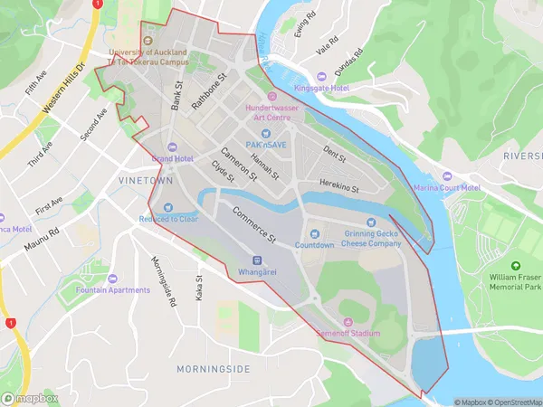
275 people live in Whangarei, Whangārei, NZWhangarei Suburb Area Map (Polygon)
Whangarei Introduction
Whangarei is the northernmost city in New Zealand and the largest city in the Northland region. It is known for its natural beauty, including the surrounding mountains, rivers, and beaches. The city is home to a population of around 105,000 people and is a popular destination for tourists and outdoor enthusiasts.Region
Major City
Suburb Name
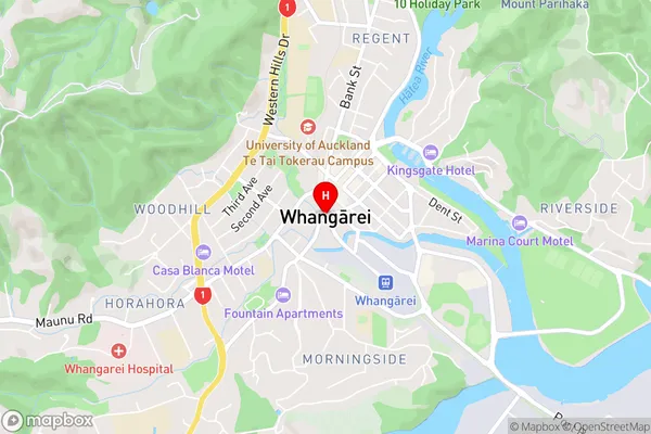
Whangarei (Maori Name: Whangārei)Whangarei Area Map (Street)
Local Authority
Whangarei DistrictFull Address
Whangarei, Whangarei District, New ZealandAddress Type
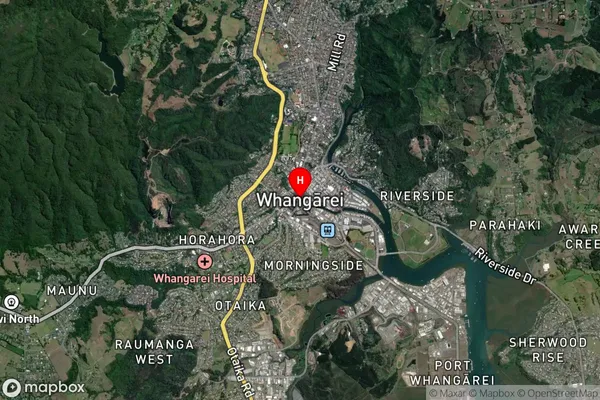
Suburb in City WhangareiWhangarei Suburb Map (Satellite)
Country
Main Region in AU
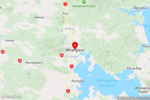
NorthlandWhangarei Region Map
Coordinates
-35.7275268,174.3194202 (latitude/longitude)Distances
The distance from Whangarei, Whangarei, Whangarei District to NZ Top 10 Cities