Matarau Area, Matarau Postcode(0185) & Map in Matarau
Matarau Area, Matarau Postcode(0185) & Map in Matarau, Whangarei District, New Zealand
Matarau, Whangarei District, New Zealand
Matarau Postcodes
Matarau Area (estimated)
15.8 square kilometersMatarau Population (estimated)
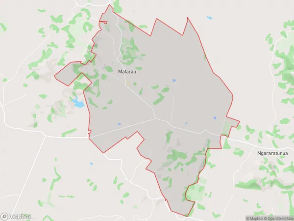
429 people live in Matarau, Whangārei, NZMatarau Suburb Area Map (Polygon)
Matarau Introduction
Matarau is a small settlement on the banks of the Wangarei River in Northland, New Zealand. It is known for its stunning natural beauty, including the Matarau Falls, a popular hiking and picnic spot. The settlement also has a small community hall and a primary school. Matarau is surrounded by lush forest and farmland and is a popular destination for outdoor enthusiasts and nature lovers.Region
Major City
Suburb Name
MatarauOther Name(s)
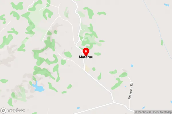
RuatangataMatarau Area Map (Street)
Local Authority
Whangarei DistrictFull Address
Matarau, Whangarei District, New ZealandAddress Type
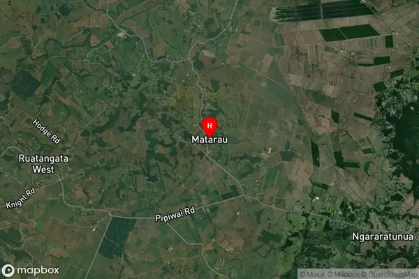
Locality in City WhangareiMatarau Suburb Map (Satellite)
Country
Main Region in AU
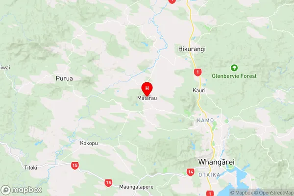
NorthlandMatarau Region Map
Coordinates
-35.6547221,174.2219827 (latitude/longitude)Distances
The distance from Matarau, Whangarei, Whangarei District to NZ Top 10 Cities