Awatere Area, Awatere Postcode & Map in Awatere
Awatere Area, Awatere Postcode & Map in Awatere, Southland District, New Zealand
Awatere, Southland District, New Zealand
Awatere Area (estimated)
67.5 square kilometersAwatere Population (estimated)
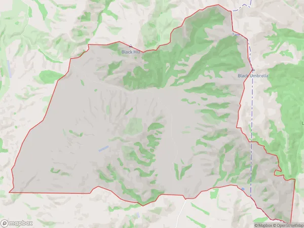
18 people live in Awatere, Gisborne, NZAwatere Suburb Area Map (Polygon)
Awatere Introduction
Awatere is a small rural settlement in the Gisborne region of New Zealand. It is located on the banks of the Awatere River and is known for its stunning natural scenery, including lush forests, waterfalls, and a variety of bird species. The settlement has a population of around 100 people and is home to a primary school, a church, and a few small businesses. The area is popular with tourists and outdoor enthusiasts, who enjoy hiking, fishing, and kayaking in the nearby rivers and forests.Region
Major City
Suburb Name
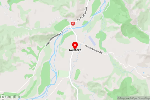
AwatereAwatere Area Map (Street)
Local Authority
Southland DistrictFull Address
Awatere, Southland District, New ZealandAddress Type
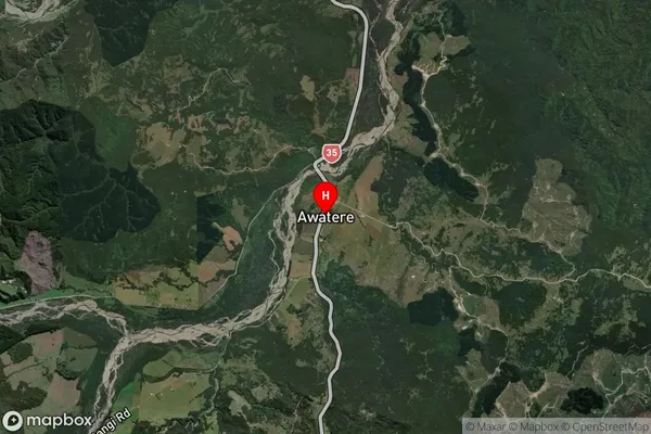
Locality in Town RiversdaleAwatere Suburb Map (Satellite)
Country
Main Region in AU
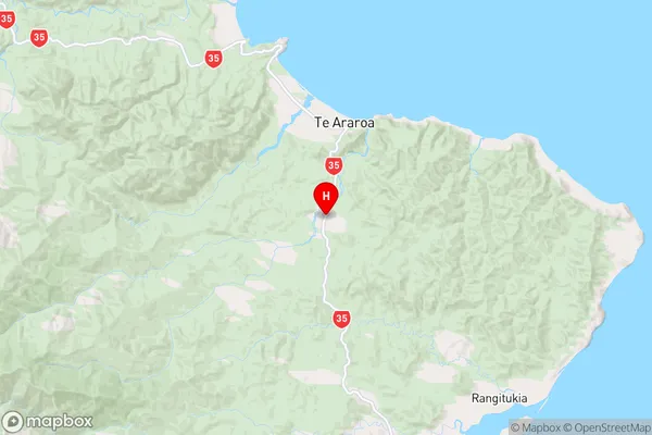
GisborneAwatere Region Map
Coordinates
-37.6805596,178.3493686 (latitude/longitude)Distances
The distance from Awatere, Riversdale, Southland District to NZ Top 10 Cities