Waharoa Area, Waharoa Postcode(3474) & Map in Waharoa
Waharoa Area, Waharoa Postcode(3474) & Map in Waharoa, Matamata-Piako District, New Zealand
Waharoa, Matamata-Piako District, New Zealand
Waharoa Area (estimated)
81.2 square kilometersWaharoa Population (estimated)
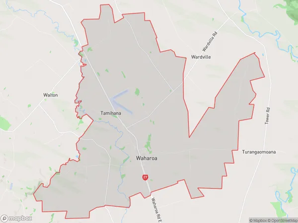
1371 people live in Waharoa, Waikato, NZWaharoa Suburb Area Map (Polygon)
Waharoa Introduction
Waikato's Waharoa is a small farming town on State Highway 1, 20 km south of Morrinsville. It was founded in 1865 by Scottish settler Donald McLean and named after the Waikato River. The town has a primary school, a post office, and a hotel. The nearby Waharoa Falls is a popular swimming and picnic spot.Region
Major City
Suburb Name
WaharoaOther Name(s)
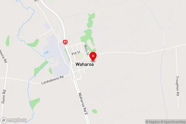
TamihanaWaharoa Area Map (Street)
Local Authority
Matamata-Piako DistrictFull Address
Waharoa, Matamata-Piako District, New ZealandAddress Type
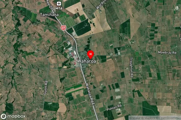
Suburb in Town WaharoaWaharoa Suburb Map (Satellite)
Country
Main Region in AU
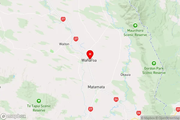
WaikatoWaharoa Region Map
Coordinates
-37.7608408,175.759007 (latitude/longitude)Distances
The distance from Waharoa, Waharoa, Matamata-Piako District to NZ Top 10 Cities