Awaroa Bay Area, Awaroa Bay Postcode & Map in Awaroa Bay
Awaroa Bay Area, Awaroa Bay Postcode & Map in Awaroa Bay, Tasman District, New Zealand
Awaroa Bay, Tasman District, New Zealand
Awaroa Bay Area (estimated)
1.0 square kilometersAwaroa Bay Population (estimated)
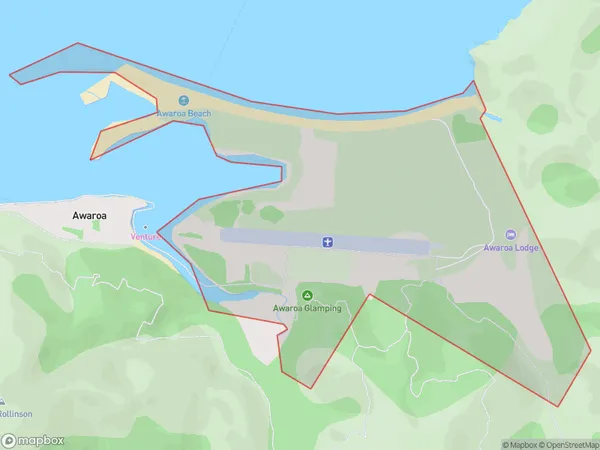
13 people live in Awaroa Bay, Tasman, NZAwaroa Bay Suburb Area Map (Polygon)
Awaroa Bay Introduction
Awaroa Bay is a peaceful and picturesque bay located in Takaka, Tasman, New Zealand. It is known for its stunning turquoise waters, golden sandy beaches, and lush coastal vegetation. The bay is a popular spot for swimming, kayaking, and fishing, and it is surrounded by stunning mountain ranges and picturesque forests. The bay is also home to a small community of native birds, including the rare and endangered Hector's dolphin.Region
Major City
Suburb Name
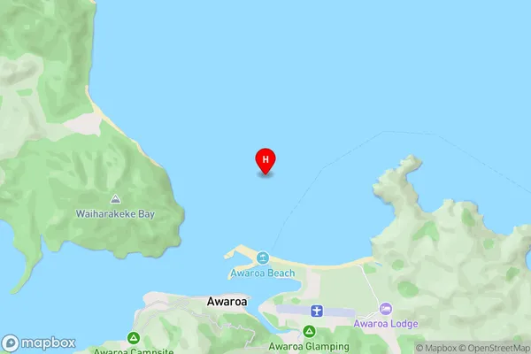
Awaroa BayAwaroa Bay Area Map (Street)
Local Authority
Tasman DistrictFull Address
Awaroa Bay, Tasman District, New ZealandAddress Type
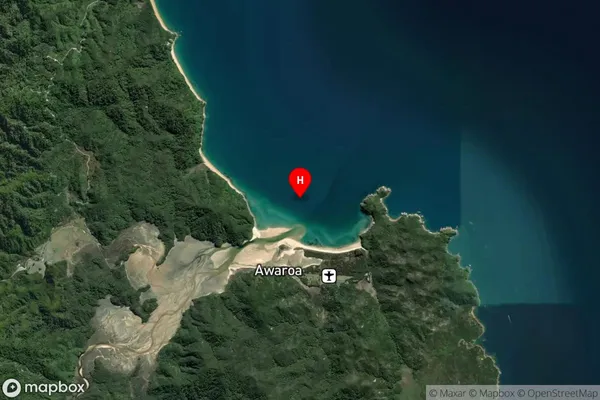
Locality in Town TakakaAwaroa Bay Suburb Map (Satellite)
Country
Main Region in AU
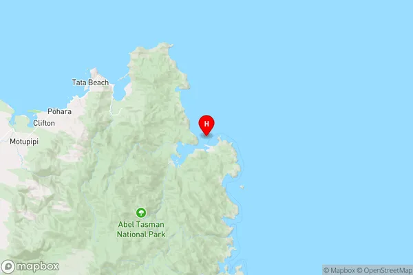
TasmanAwaroa Bay Region Map
Coordinates
-40.8530301,173.0313965 (latitude/longitude)Distances
The distance from Awaroa Bay, Takaka, Tasman District to NZ Top 10 Cities