Awaroa Area, Awaroa Postcode & Map in Awaroa
Awaroa Area, Awaroa Postcode & Map in Awaroa, Tasman District, New Zealand
Awaroa, Tasman District, New Zealand
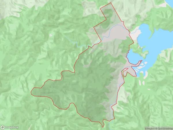
Awaroa Area (estimated)
10.7 square kilometersAwaroa Population (estimated)
1 people live in Awaroa, Tasman, NZAwaroa Suburb Area Map (Polygon)
Awaroa Introduction
Awaroa is a small rural community in Takaka, Tasman, New Zealand. It is located on the Golden Bay coast and is known for its stunning natural scenery, including the Awaroa National Park and the Awaroa River. The community has a population of around 100 people and is surrounded by lush forests, waterfalls, and scenic beaches. Awaroa is a popular destination for outdoor enthusiasts and nature lovers, with many opportunities for hiking, fishing, and kayaking.Region
Major City
Suburb Name
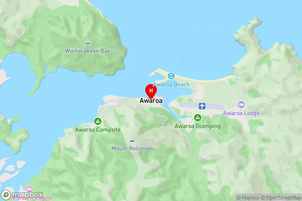
AwaroaAwaroa Area Map (Street)
Local Authority
Tasman DistrictFull Address
Awaroa, Tasman District, New ZealandAddress Type
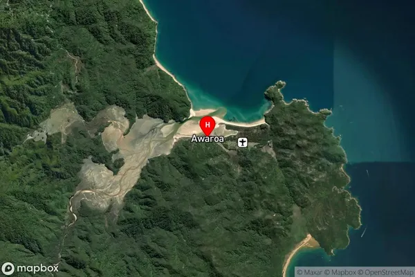
Locality in Town TakakaAwaroa Suburb Map (Satellite)
Country
Main Region in AU
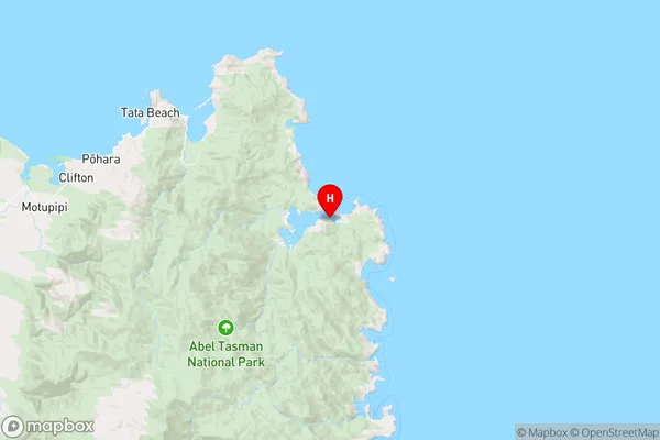
TasmanAwaroa Region Map
Coordinates
-40.8621505,173.0276668 (latitude/longitude)Distances
The distance from Awaroa, Takaka, Tasman District to NZ Top 10 Cities