Worser Bay Area, Worser Bay Postcode(6021) & Map in Worser Bay
Worser Bay Area, Worser Bay Postcode(6021) & Map in Worser Bay, Area outside Territorial Authority, New Zealand
Worser Bay, Area outside Territorial Authority, New Zealand
Worser Bay Postcodes
Worser Bay Area (estimated)
0.4 square kilometersWorser Bay Population (estimated)
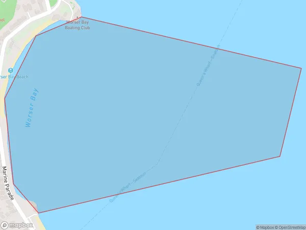
0 people live in Worser Bay, Wellington, NZWorser Bay Suburb Area Map (Polygon)
Worser Bay Introduction
Worser Bay is a small, sheltered bay located in the southern suburbs of Wellington, New Zealand. It is known for its peaceful atmosphere, stunning natural surroundings, and popular walking and cycling trails. The bay is surrounded by lush green hills and offers a peaceful escape from the hustle and bustle of the city. It is also home to a small community of residents and is a popular destination for boaters and kayakers.Region
Major City
Suburb Name
Worser BayOther Name(s)
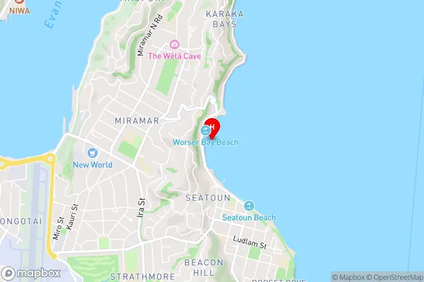
Wellington Harbour / Port Nicholson, Cook StraitWorser Bay Area Map (Street)
Local Authority
Area outside Territorial AuthorityFull Address
Worser Bay, Area outside Territorial Authority, New ZealandAddress Type
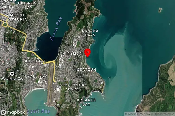
Coastal BayWorser Bay Suburb Map (Satellite)
Country
Main Region in AU
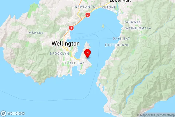
WellingtonWorser Bay Region Map
Coordinates
-41.31519865,174.828812589146 (latitude/longitude)Distances
The distance from Worser Bay, , Area outside Territorial Authority to NZ Top 10 Cities