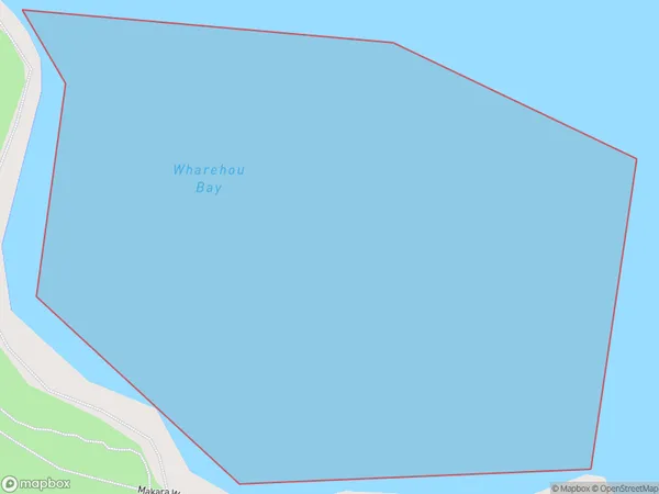
Wharehou Bay Area, Wharehou Bay Postcode & Map in Wharehou Bay
Wharehou Bay Area, Wharehou Bay Postcode & Map in Wharehou Bay, Area outside Territorial Authority, New Zealand
Wharehou Bay, Area outside Territorial Authority, New Zealand
Wharehou Bay Area (estimated)
0.1 square kilometersWharehou Bay Population (estimated)
0 people live in Wharehou Bay, Wellington, NZWharehou Bay Suburb Area Map (Polygon)
Wharehou Bay Introduction
Wharehou Bay is a small, sheltered bay located in Wellington, New Zealand. It is known for its calm waters and stunning natural surroundings, making it a popular spot for swimming, kayaking, and picnicking. The bay is also home to a small community of residents and is surrounded by lush green hills and picturesque countryside.Region
Major City
Suburb Name
Wharehou BayOther Name(s)
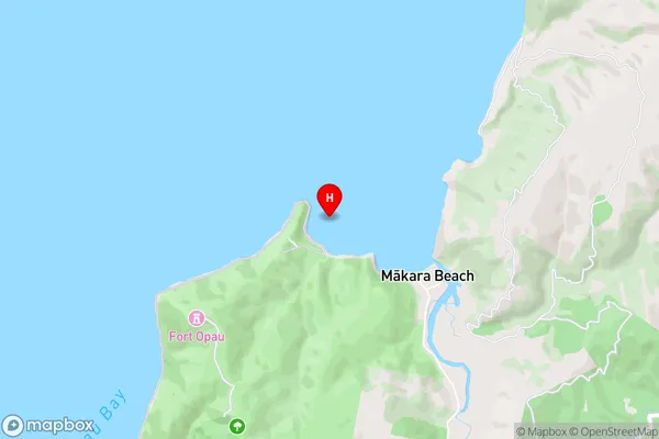
Cook StraitWharehou Bay Area Map (Street)
Local Authority
Area outside Territorial AuthorityFull Address
Wharehou Bay, Area outside Territorial Authority, New ZealandAddress Type
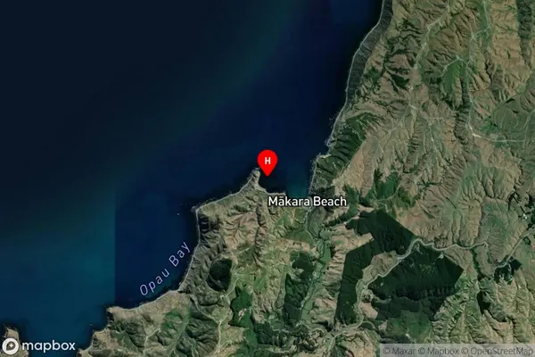
Coastal BayWharehou Bay Suburb Map (Satellite)
Country
Main Region in AU
WellingtonWharehou Bay Region Map
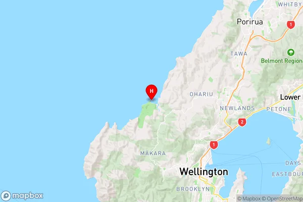
Coordinates
-41.2165558,174.706161 (latitude/longitude)Distances
The distance from Wharehou Bay, , Area outside Territorial Authority to NZ Top 10 Cities