Waitaha Cove Area, Waitaha Cove Postcode(6023) & Map in Waitaha Cove
Waitaha Cove Area, Waitaha Cove Postcode(6023) & Map in Waitaha Cove, Area outside Territorial Authority, New Zealand
Waitaha Cove, Area outside Territorial Authority, New Zealand
Waitaha Cove Postcodes
Waitaha Cove Area (estimated)
0.0 square kilometersWaitaha Cove Population (estimated)
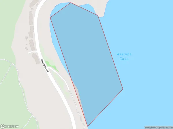
0 people live in Waitaha Cove, Wellington, NZWaitaha Cove Suburb Area Map (Polygon)
Waitaha Cove Introduction
Waitaha Cove is a small, sheltered beach located in the southern suburbs of Wellington, New Zealand. It is known for its calm waters, stunning coastal views, and peaceful atmosphere, making it a popular spot for swimming, sunbathing, and picnicking. The cove is also home to a small community of sea birds and is surrounded by native bushland.Region
Major City
Suburb Name
Waitaha CoveOther Name(s)
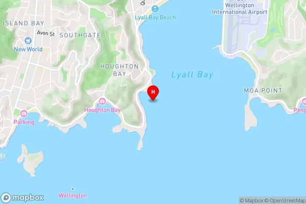
Cook StraitWaitaha Cove Area Map (Street)
Local Authority
Area outside Territorial AuthorityFull Address
Waitaha Cove, Area outside Territorial Authority, New ZealandAddress Type
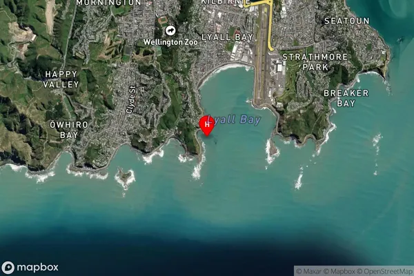
Coastal BayWaitaha Cove Suburb Map (Satellite)
Country
Main Region in AU
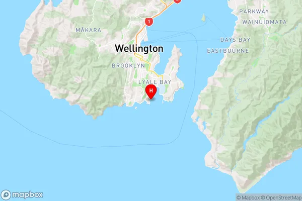
WellingtonWaitaha Cove Region Map
Coordinates
-41.3422551,174.7935051 (latitude/longitude)Distances
The distance from Waitaha Cove, , Area outside Territorial Authority to NZ Top 10 Cities