Longridge Area, Longridge Postcode & Map in Longridge
Longridge Area, Longridge Postcode & Map in Longridge, Southland District, New Zealand
Longridge, Southland District, New Zealand
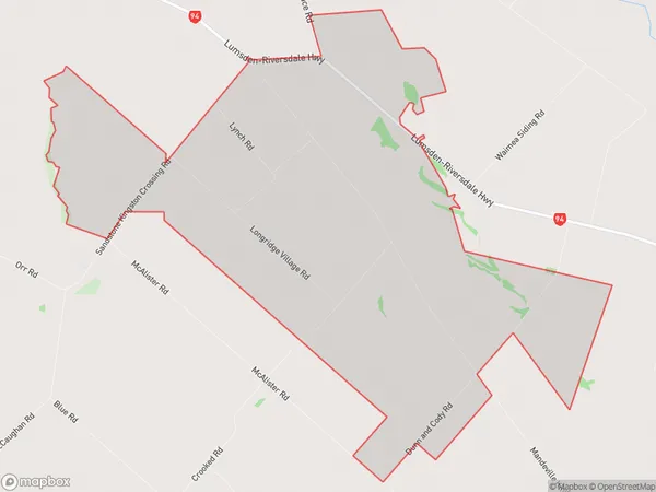
Longridge Area (estimated)
32.3 square kilometersLongridge Population (estimated)
66 people live in Longridge, Southland, NZLongridge Suburb Area Map (Polygon)
Longridge Introduction
Longridge is a small rural community in Southland, New Zealand. It is located on the banks of the Mataura River, 30 kilometers south of Gore and 120 kilometers south of Invercargill. The area was first settled by Europeans in the 1860s, and the town was established in 1876. Longridge is known for its scenic countryside, with rolling hills, lush green fields, and picturesque rivers. The community has a primary school, a post office, a supermarket, and a variety of recreational facilities, including a golf course and a swimming pool.Region
Major City
Suburb Name
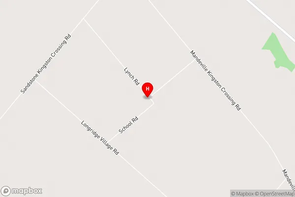
LongridgeLongridge Area Map (Street)
Local Authority
Southland DistrictFull Address
Longridge, Southland District, New ZealandAddress Type
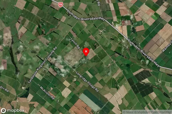
Locality in Town RiversdaleLongridge Suburb Map (Satellite)
Country
Main Region in AU
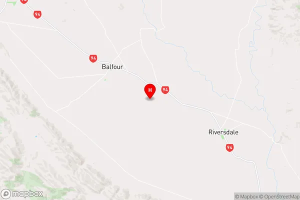
SouthlandLongridge Region Map
Coordinates
-45.8705437,168.6430335 (latitude/longitude)Distances
The distance from Longridge, Riversdale, Southland District to NZ Top 10 Cities