Longbush Area, Longbush Postcode & Map in Longbush
Longbush Area, Longbush Postcode & Map in Longbush, Southland District, New Zealand
Longbush, Southland District, New Zealand
Longbush Area (estimated)
24.5 square kilometersLongbush Population (estimated)
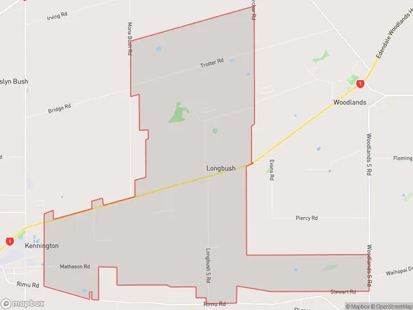
147 people live in Longbush, Waihopai Toetoe Community, NZLongbush Suburb Area Map (Polygon)
Longbush Introduction
Longbush is a small rural community in Southland, New Zealand, located in the southern part of the Southland District. It is situated between the Southern Alps and the Pacific Ocean, about 20 kilometers south of Invercargill. The community has a population of around 100 people and is known for its scenic surroundings, including lush green fields, picturesque rivers, and stunning mountain views. Longbush is a popular destination for outdoor enthusiasts, with numerous hiking and tramping tracks in the surrounding area. The community also has a small primary school and a community hall.Region
Major City
Suburb Name
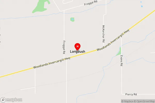
LongbushLongbush Area Map (Street)
Local Authority
Southland DistrictFull Address
Longbush, Southland District, New ZealandAddress Type
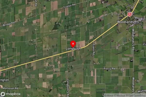
Locality in City InvercargillLongbush Suburb Map (Satellite)
Country
Main Region in AU
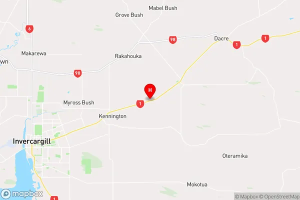
SouthlandLongbush Region Map
Coordinates
-46.3727982,168.509535 (latitude/longitude)Distances
The distance from Longbush, Invercargill, Southland District to NZ Top 10 Cities