Scorching Bay Area, Scorching Bay Postcode(6021) & Map in Scorching Bay
Scorching Bay Area, Scorching Bay Postcode(6021) & Map in Scorching Bay, Area outside Territorial Authority, New Zealand
Scorching Bay, Area outside Territorial Authority, New Zealand
Scorching Bay Postcodes
Scorching Bay Area (estimated)
0.3 square kilometersScorching Bay Population (estimated)
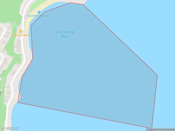
0 people live in Scorching Bay, Wellington, NZScorching Bay Suburb Area Map (Polygon)
Scorching Bay Introduction
Scorching Bay is a small beach located in Wellington, New Zealand. It is known for its hot springs and geysers, which create a unique and relaxing environment. The beach is also popular with swimmers and surfers due to its calm waters and consistent waves.Region
Major City
Suburb Name
Scorching BayOther Name(s)
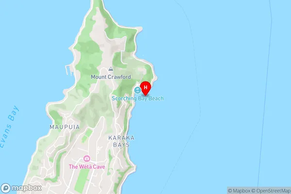
Wellington Harbour / Port Nicholson, Cook StraitScorching Bay Area Map (Street)
Local Authority
Area outside Territorial AuthorityFull Address
Scorching Bay, Area outside Territorial Authority, New ZealandAddress Type
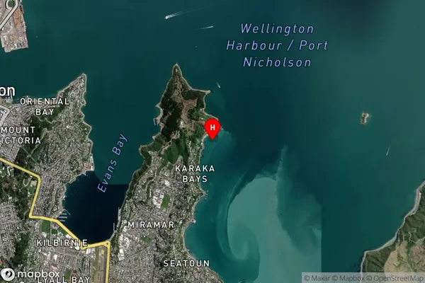
Coastal BayScorching Bay Suburb Map (Satellite)
Country
Main Region in AU
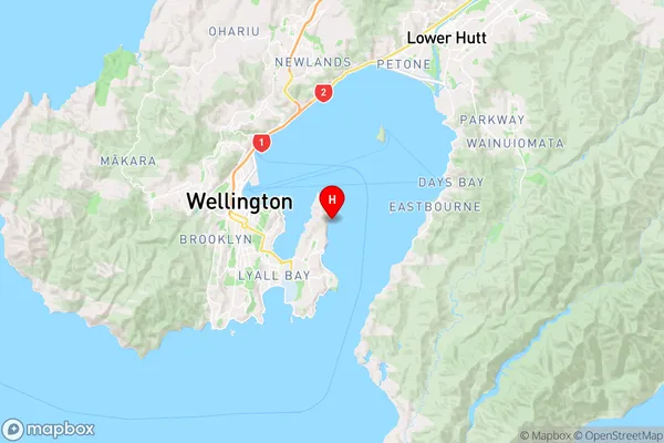
WellingtonScorching Bay Region Map
Coordinates
-41.2981623,174.8346249 (latitude/longitude)Distances
The distance from Scorching Bay, , Area outside Territorial Authority to NZ Top 10 Cities