Lee Valley Area, Lee Valley Postcode & Map in Lee Valley
Lee Valley Area, Lee Valley Postcode & Map in Lee Valley, Tasman District,
Lee Valley, Tasman District,
Lee Valley Area (estimated)
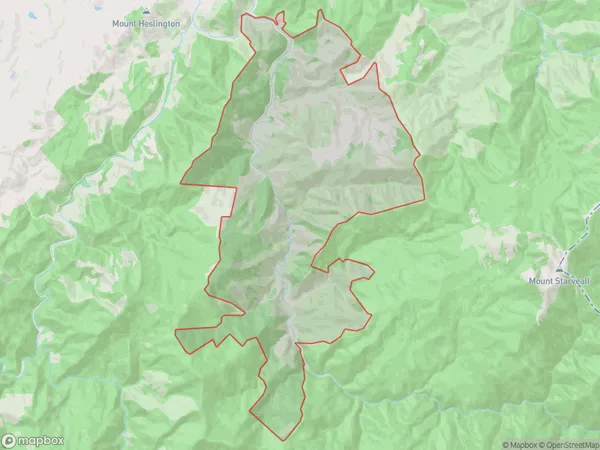
47.5 square kilometersLee Valley Population (estimated)
36 people live in Lee Valley, Brightwater, NZLee Valley Suburb Area Map (Polygon)
Lee Valley Introduction
Lee Valley is a small rural community located in the Tasman District of New Zealand's South Island. It is situated between Brightwater and Richmond, approximately 30 minutes from Nelson. The area is known for its scenic landscapes, including the Lee Valley Reservoir, which provides water for the region. The community has a small population of around 100 people and is surrounded by farmland and native bush. Lee Valley is a popular destination for outdoor activities such as hiking, cycling, and fishing, and has a community hall and a primary school.Region
Major City
Suburb Name
Lee ValleyLee Valley Area Map (Street)
Local Authority
Tasman DistrictFull Address
Lee Valley, Tasman District,Address Type
Locality in Town BrightwaterLee Valley Suburb Map (Satellite)
Country
Main Region in AU
TasmanLee Valley Region Map
Coordinates
0,0 (latitude/longitude)Distances
The distance from Lee Valley, Brightwater, Tasman District to NZ Top 10 Cities