Palmer Bay Area, Palmer Bay Postcode(6021) & Map in Palmer Bay
Palmer Bay Area, Palmer Bay Postcode(6021) & Map in Palmer Bay, Area outside Territorial Authority, New Zealand
Palmer Bay, Area outside Territorial Authority, New Zealand
Palmer Bay Postcodes
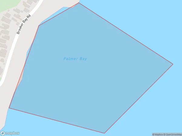
Palmer Bay Area (estimated)
0.1 square kilometersPalmer Bay Population (estimated)
0 people live in Palmer Bay, Wellington, NZPalmer Bay Suburb Area Map (Polygon)
Palmer Bay Introduction
Palmer Bay is a popular beach in Wellington, known for its golden sand and clear waters. It is a popular spot for swimming, sunbathing, and beach sports such as volleyball and frisbee. The beach also has a range of cafes and restaurants nearby, making it a convenient place to spend a day or afternoon.Region
Major City
Suburb Name
Palmer BayOther Name(s)
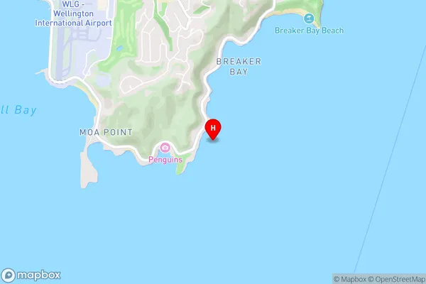
Wellington Harbour / Port Nicholson, Cook StraitPalmer Bay Area Map (Street)
Local Authority
Area outside Territorial AuthorityFull Address
Palmer Bay, Area outside Territorial Authority, New ZealandAddress Type
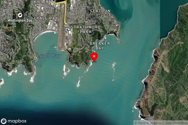
Coastal BayPalmer Bay Suburb Map (Satellite)
Country
Main Region in AU
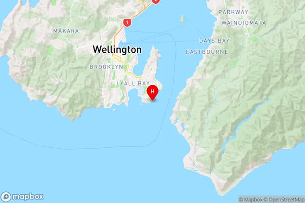
WellingtonPalmer Bay Region Map
Coordinates
-41.3416855,174.8249609 (latitude/longitude)Distances
The distance from Palmer Bay, , Area outside Territorial Authority to NZ Top 10 Cities