Opau Bay Area, Opau Bay Postcode & Map in Opau Bay
Opau Bay Area, Opau Bay Postcode & Map in Opau Bay, Area outside Territorial Authority, New Zealand
Opau Bay, Area outside Territorial Authority, New Zealand
Opau Bay Area (estimated)
2.2 square kilometersOpau Bay Population (estimated)
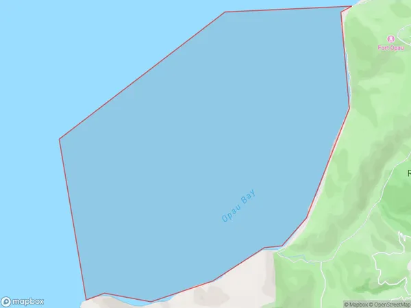
0 people live in Opau Bay, Wellington, NZOpau Bay Suburb Area Map (Polygon)
Opau Bay Introduction
Opau Bay is a popular beach in Wellington, New Zealand, known for its golden sand and clear waters. It is a popular spot for swimming, sunbathing, and watersports such as kayaking and paddleboarding. The bay is also home to a small community of residents and a popular restaurant.Region
Major City
Suburb Name
Opau Bay (Maori Name: Ōpau Bay)Other Name(s)
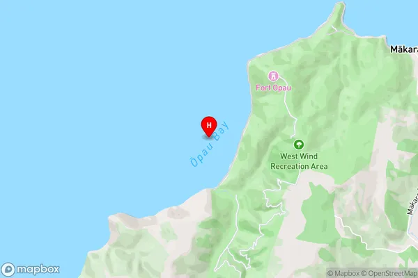
Cook StraitOpau Bay Area Map (Street)
Local Authority
Area outside Territorial AuthorityFull Address
Opau Bay, Area outside Territorial Authority, New ZealandAddress Type
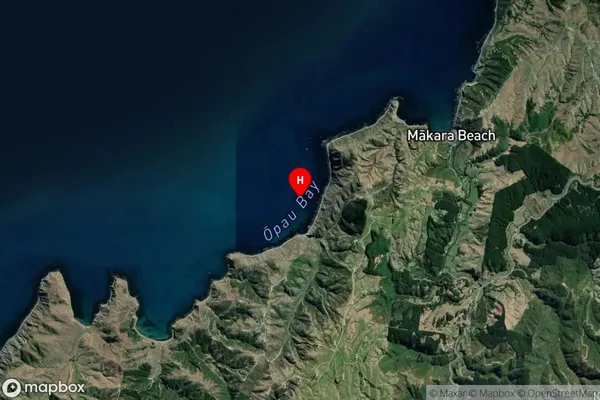
Coastal BayOpau Bay Suburb Map (Satellite)
Country
Main Region in AU
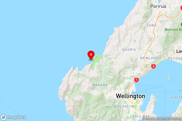
WellingtonOpau Bay Region Map
Coordinates
-41.22819715,174.687850881592 (latitude/longitude)Distances
The distance from Opau Bay, , Area outside Territorial Authority to NZ Top 10 Cities