Ohariu Bay Area, Ohariu Bay Postcode & Map in Ohariu Bay
Ohariu Bay Area, Ohariu Bay Postcode & Map in Ohariu Bay, Area outside Territorial Authority, New Zealand
Ohariu Bay, Area outside Territorial Authority, New Zealand
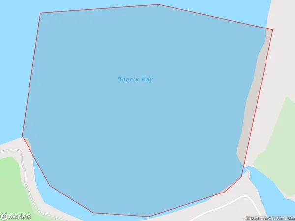
Ohariu Bay Area (estimated)
0.2 square kilometersOhariu Bay Population (estimated)
0 people live in Ohariu Bay, Wellington, NZOhariu Bay Suburb Area Map (Polygon)
Ohariu Bay Introduction
Ohariu Bay is a popular beach and camping spot located in Wellington, New Zealand. It is known for its calm waters, stunning views, and rich marine life. The bay is a popular spot for swimming, kayaking, and fishing, and it is also home to a small community of residents. The area is surrounded by beautiful native bush and offers a peaceful escape from the hustle and bustle of the city.Region
Major City
Suburb Name
Ohariu BayOther Name(s)
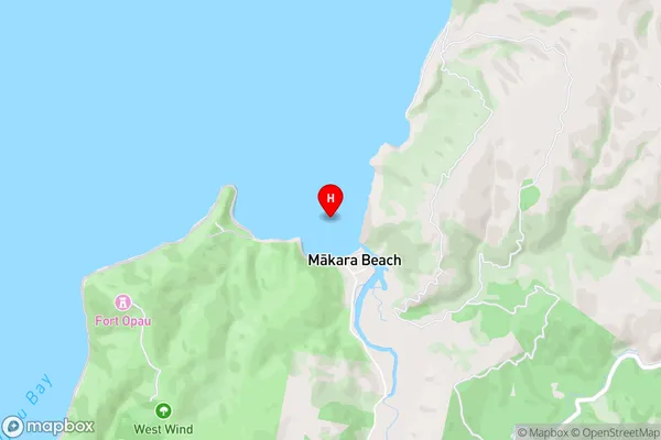
Cook StraitOhariu Bay Area Map (Street)
Local Authority
Area outside Territorial AuthorityFull Address
Ohariu Bay, Area outside Territorial Authority, New ZealandAddress Type
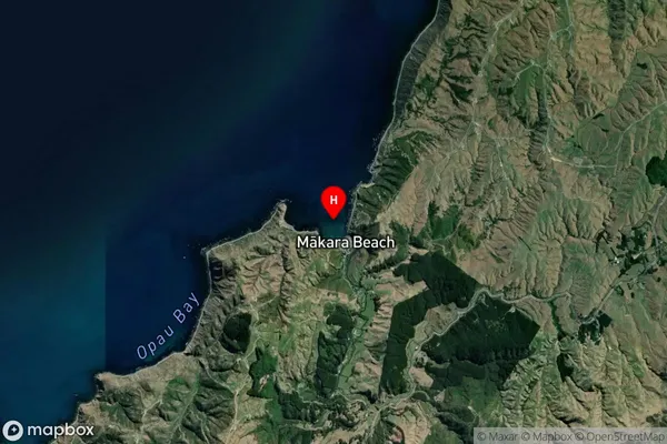
Coastal BayOhariu Bay Suburb Map (Satellite)
Country
Main Region in AU
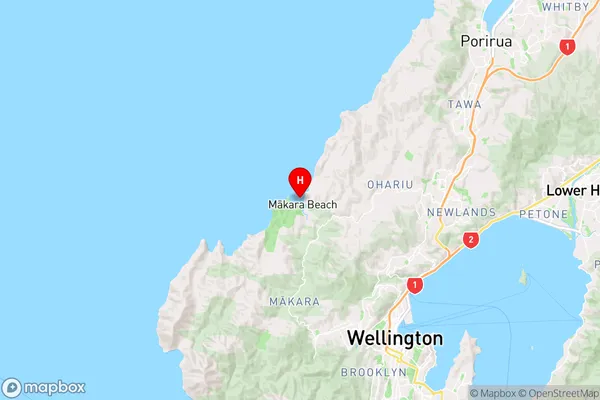
WellingtonOhariu Bay Region Map
Coordinates
-41.2175148,174.711947 (latitude/longitude)Distances
The distance from Ohariu Bay, , Area outside Territorial Authority to NZ Top 10 Cities