Lambton Harbour Area, Lambton Harbour Postcode(6021) & Map in Lambton Harbour
Lambton Harbour Area, Lambton Harbour Postcode(6021) & Map in Lambton Harbour, Area outside Territorial Authority, New Zealand
Lambton Harbour, Area outside Territorial Authority, New Zealand
Lambton Harbour Postcodes
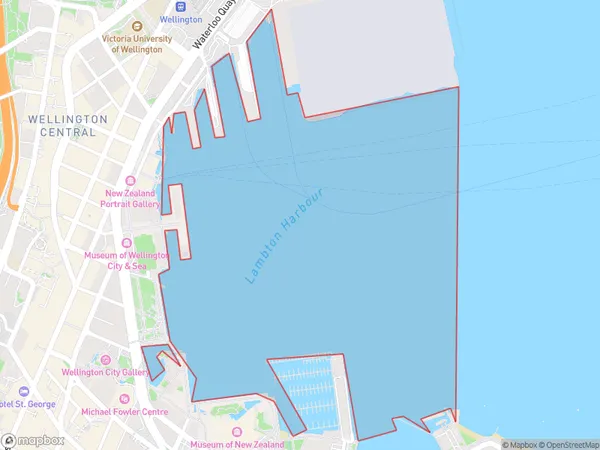
Lambton Harbour Area (estimated)
0.9 square kilometersLambton Harbour Population (estimated)
1 people live in Lambton Harbour, Wellington, NZLambton Harbour Suburb Area Map (Polygon)
Lambton Harbour Introduction
Lambton Harbour is a sheltered harbor in Wellington, New Zealand, with a rich history of maritime trade and military defense. It is home to the Royal New Zealand Navy and is a popular recreational spot for boating, fishing, and walking. The harbor is also known for its historic buildings, including the Lambton Quay Lighthouse and the Old Government Buildings.Region
Major City
Suburb Name
Lambton HarbourOther Name(s)
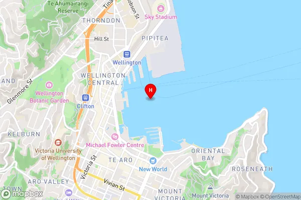
Wellington Harbour / Port Nicholson, Cook StraitLambton Harbour Area Map (Street)
Local Authority
Area outside Territorial AuthorityFull Address
Lambton Harbour, Area outside Territorial Authority, New ZealandAddress Type
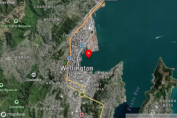
Coastal BayLambton Harbour Suburb Map (Satellite)
Country
Main Region in AU
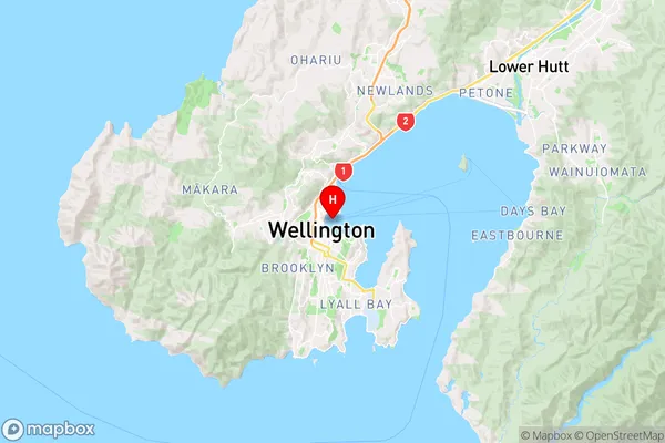
WellingtonLambton Harbour Region Map
Coordinates
-41.2847882,174.784083620595 (latitude/longitude)Distances
The distance from Lambton Harbour, , Area outside Territorial Authority to NZ Top 10 Cities