Karaka Bay Area, Karaka Bay Postcode(6021) & Map in Karaka Bay
Karaka Bay Area, Karaka Bay Postcode(6021) & Map in Karaka Bay, Area outside Territorial Authority, New Zealand
Karaka Bay, Area outside Territorial Authority, New Zealand
Karaka Bay Postcodes
Karaka Bay Area (estimated)
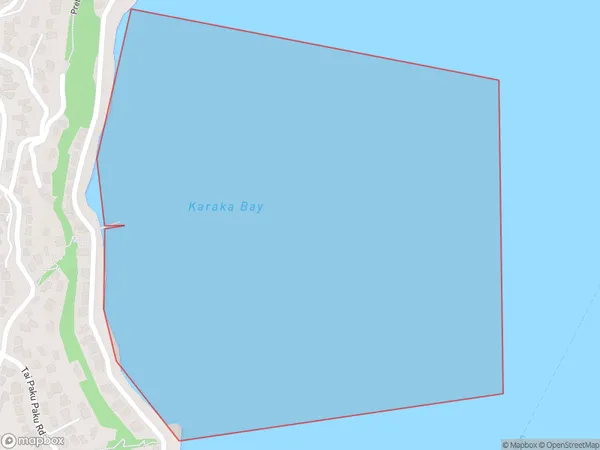
0.5 square kilometersKaraka Bay Population (estimated)
1590 people live in Karaka Bay, Wellington, NZKaraka Bay Suburb Area Map (Polygon)
Karaka Bay Introduction
Karaka Bay is a popular spot for swimming, boating, and fishing in Wellington, New Zealand. It is located on the southern coast of the city and is known for its calm waters and stunning views of the surrounding coastline. The bay is also home to a variety of wildlife, including seals, penguins, and dolphins. Visitors can take boat tours, go kayaking, or simply relax on the beach and enjoy the beautiful scenery.Region
Major City
Suburb Name
Karaka BayOther Name(s)
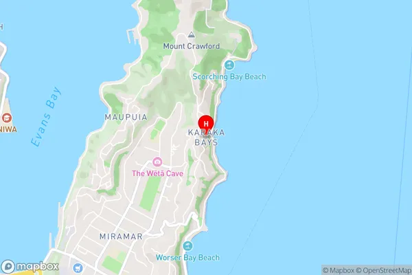
Wellington Harbour / Port Nicholson, Cook StraitKaraka Bay Area Map (Street)
Local Authority
Area outside Territorial AuthorityFull Address
Karaka Bay, Area outside Territorial Authority, New ZealandAddress Type
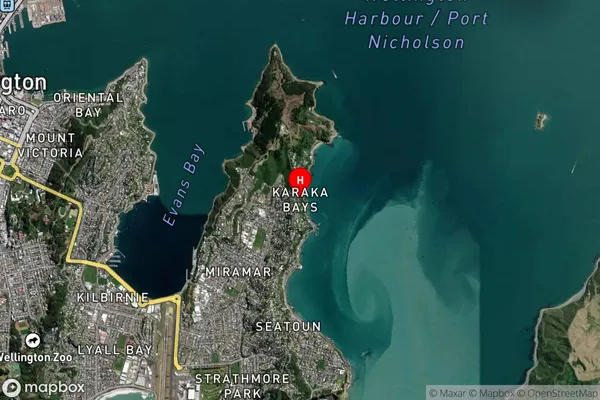
Coastal BayKaraka Bay Suburb Map (Satellite)
Country
Main Region in AU
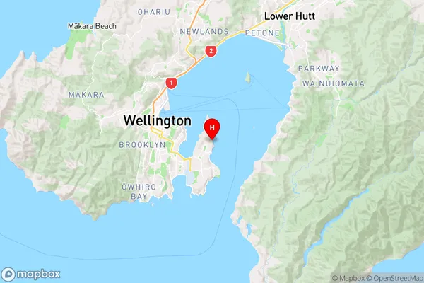
WellingtonKaraka Bay Region Map
Coordinates
-41.3040596,174.8303183 (latitude/longitude)Distances
The distance from Karaka Bay, , Area outside Territorial Authority to NZ Top 10 Cities