Kingswell Area, Kingswell Postcode(9812) & Map in Kingswell
Kingswell Area, Kingswell Postcode(9812) & Map in Kingswell, Invercargill City, New Zealand
Kingswell, Invercargill City, New Zealand
Kingswell Postcodes
Kingswell Area (estimated)
2.3 square kilometersKingswell Population (estimated)
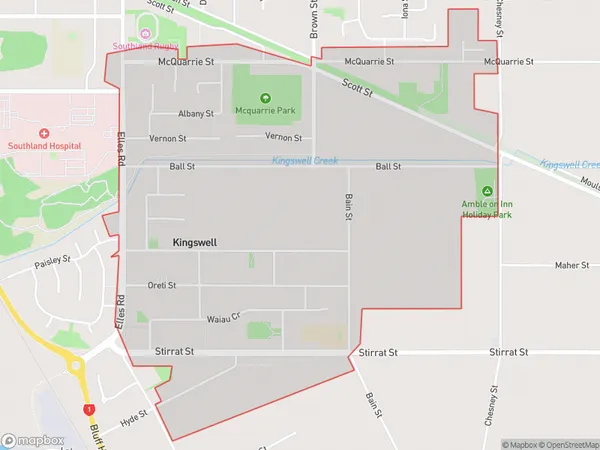
2638 people live in Kingswell, Invercargill City, NZKingswell Suburb Area Map (Polygon)
Kingswell Introduction
Kingswell is a small rural community in Southland, New Zealand, located on State Highway 6 between Invercargill and Lumsden. It is known for its scenic views, outdoor activities, and friendly community. The area has a primary school, a post office, a church, and a few small businesses. Kingswell is a popular destination for tourists and outdoor enthusiasts, with nearby attractions such as the Catlins Coast, the Southern Alps, and the Fiordland National Park.Region
Major City
Suburb Name
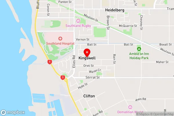
KingswellKingswell Area Map (Street)
Local Authority
Invercargill CityFull Address
Kingswell, Invercargill City, New ZealandAddress Type
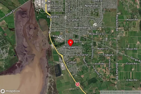
Suburb in City InvercargillKingswell Suburb Map (Satellite)
Country
Main Region in AU
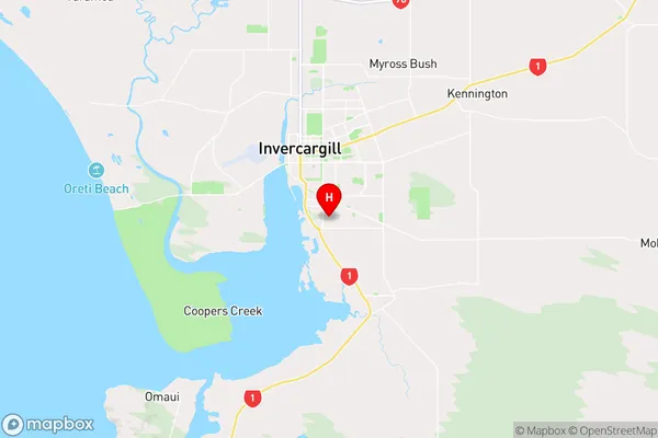
SouthlandKingswell Region Map
Coordinates
-46.4423279,168.3652925 (latitude/longitude)Distances
The distance from Kingswell, Invercargill, Invercargill City to NZ Top 10 Cities