Kingston Area, Kingston Postcode(6242) & Map in Kingston
Kingston Area, Kingston Postcode(6242) & Map in Kingston, Wellington City, New Zealand
Kingston, Wellington City, New Zealand
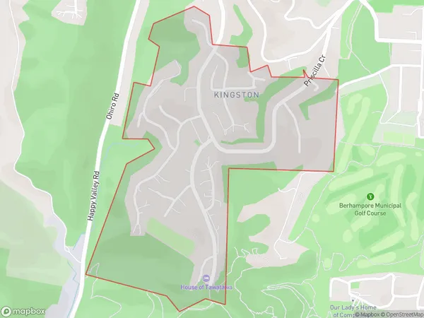
Kingston Area (estimated)
0.6 square kilometersKingston Population (estimated)
1344 people live in Kingston, Wellington, NZKingston Suburb Area Map (Polygon)
Kingston Introduction
Kingston is a suburb of Wellington, New Zealand, located on the southern shore of the Cook Strait. It is known for its historic buildings, vibrant arts scene, and popular beach. The suburb has a population of around 40,000 and is home to many diplomatic missions and government institutions.Region
Major City
Suburb Name
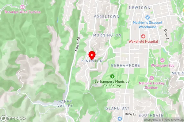
KingstonKingston Area Map (Street)
Local Authority
Wellington CityFull Address
Kingston, Wellington City, New ZealandAddress Type
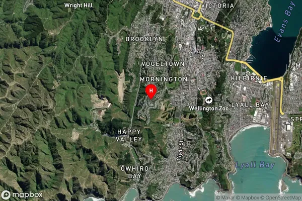
Suburb in City WellingtonKingston Suburb Map (Satellite)
Country
Main Region in AU
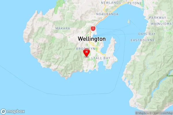
WellingtonKingston Region Map
Coordinates
-41.3223122,174.7647252 (latitude/longitude)Distances
The distance from Kingston, Wellington, Wellington City to NZ Top 10 Cities