Khandallah Area, Khandallah Postcode(6441) & Map in Khandallah
Khandallah Area, Khandallah Postcode(6441) & Map in Khandallah, Wellington City, New Zealand
Khandallah, Wellington City, New Zealand
Khandallah Area (estimated)
5.4 square kilometersKhandallah Population (estimated)
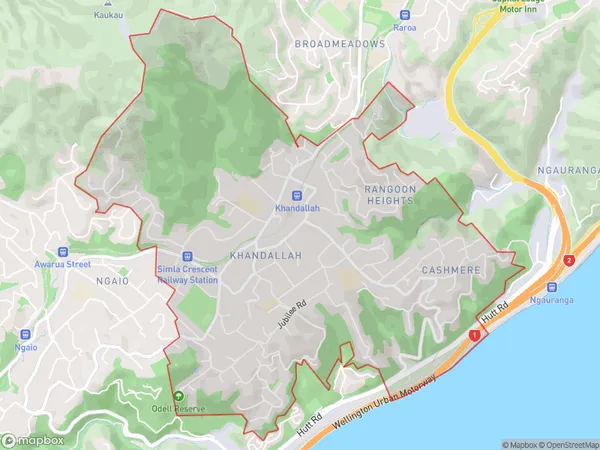
8495 people live in Khandallah, Wellington, NZKhandallah Suburb Area Map (Polygon)
Khandallah Introduction
Khandallah is a suburb in Wellington, New Zealand, located on the northern shore of Lake Wakatipu. It is known for its peaceful atmosphere, scenic parks, and well-preserved colonial architecture. The area is popular with families and outdoor enthusiasts, with numerous walking and cycling trails nearby. Khandallah also has a vibrant community center and a popular shopping district.Region
Major City
Suburb Name
KhandallahOther Name(s)
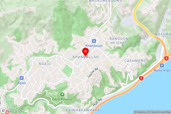
Cashmere, Rangoon Heights, Te KaingaKhandallah Area Map (Street)
Local Authority
Wellington CityFull Address
Khandallah, Wellington City, New ZealandAddress Type
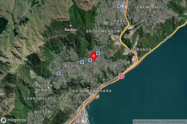
Suburb in City WellingtonKhandallah Suburb Map (Satellite)
Country
Main Region in AU
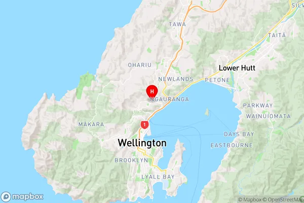
WellingtonKhandallah Region Map
Coordinates
-41.246742,174.7905885 (latitude/longitude)Distances
The distance from Khandallah, Wellington, Wellington City to NZ Top 10 Cities