Flax Bay Area, Flax Bay Postcode(6021) & Map in Flax Bay
Flax Bay Area, Flax Bay Postcode(6021) & Map in Flax Bay, Area outside Territorial Authority, New Zealand
Flax Bay, Area outside Territorial Authority, New Zealand
Flax Bay Postcodes
Flax Bay Area (estimated)
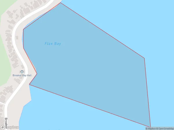
0.1 square kilometersFlax Bay Population (estimated)
0 people live in Flax Bay, Wellington, NZFlax Bay Suburb Area Map (Polygon)
Flax Bay Introduction
Flax Bay is a popular beach in Wellington, New Zealand, known for its golden sand and stunning views of the harbor. It is a popular spot for swimming, sunbathing, and beach sports, and is located just a short drive from the city center. The beach has a wide range of facilities, including picnic tables, barbecues, and changing rooms, and is also home to a popular café and restaurant.Region
Major City
Suburb Name
Flax BayOther Name(s)
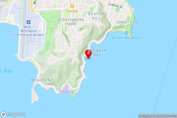
Wellington Harbour / Port Nicholson, Cook StraitFlax Bay Area Map (Street)
Local Authority
Area outside Territorial AuthorityFull Address
Flax Bay, Area outside Territorial Authority, New ZealandAddress Type
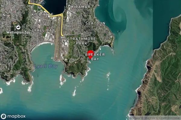
Coastal BayFlax Bay Suburb Map (Satellite)
Country
Main Region in AU
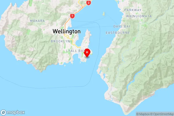
WellingtonFlax Bay Region Map
Coordinates
-41.3361826,174.8255431 (latitude/longitude)Distances
The distance from Flax Bay, , Area outside Territorial Authority to NZ Top 10 Cities