Kensington Area, Kensington Postcode(0112) & Map in Kensington
Kensington Area, Kensington Postcode(0112) & Map in Kensington, Whangarei District, New Zealand
Kensington, Whangarei District, New Zealand
Kensington Area (estimated)
4.1 square kilometersKensington Population (estimated)
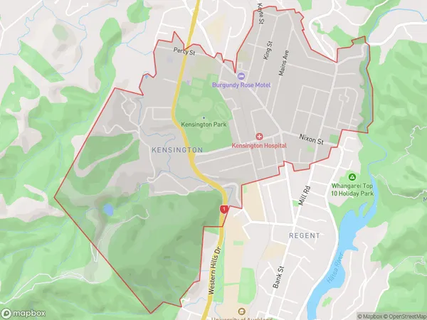
4558 people live in Kensington, Whangārei, NZKensington Suburb Area Map (Polygon)
Kensington Introduction
Kensington is a suburb of Whangarei in Northland, New Zealand. It is located on the southern side of the city, near the harbor. Kensington is known for its historic homes and gardens, and it is a popular area for tourists. The suburb has a variety of shops, cafes, and restaurants, and it is also home to a number of cultural institutions, including the Kensington Art Gallery and the Kensington Museum.Region
Major City
Suburb Name
KensingtonOther Name(s)
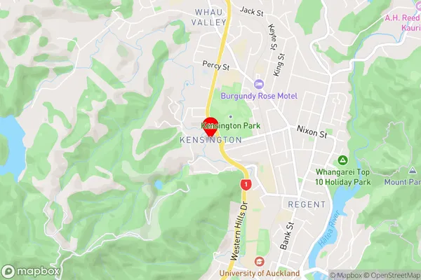
MairtownKensington Area Map (Street)
Local Authority
Whangarei DistrictFull Address
Kensington, Whangarei District, New ZealandAddress Type
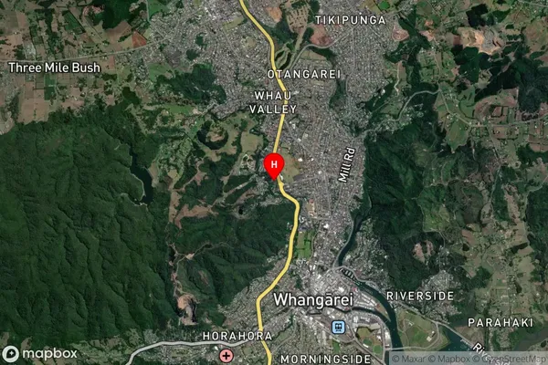
Suburb in City WhangareiKensington Suburb Map (Satellite)
Country
Main Region in AU
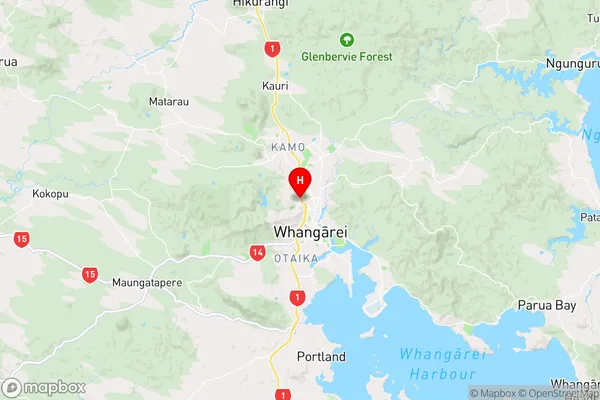
NorthlandKensington Region Map
Coordinates
-35.7096423,174.3120482 (latitude/longitude)Distances
The distance from Kensington, Whangarei, Whangarei District to NZ Top 10 Cities