Kennington Area, Kennington Postcode(9872) & Map in Kennington, Invercargill City
Kennington Area, Kennington Postcode(9872) & Map in Kennington, Invercargill City, Southland District, New Zealand
Kennington, Invercargill City, Southland District, New Zealand
Kennington Postcodes
Kennington Area (estimated)
17.7 square kilometersKennington Population (estimated)
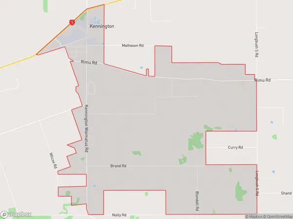
282 people live in Kennington, Invercargill City, NZKennington Suburb Area Map (Polygon)
Kennington Introduction
Kennington is a suburb of Invercargill, Southland, New Zealand. It is located on the southern bank of the Oreti River, approximately 5 km from the city center. The suburb has a population of around 3,500 people and is known for its historic homes and gardens. It is also home to a variety of businesses and industries, including a supermarket, a medical center, and a number of retail stores.Region
Major City
Suburb Name
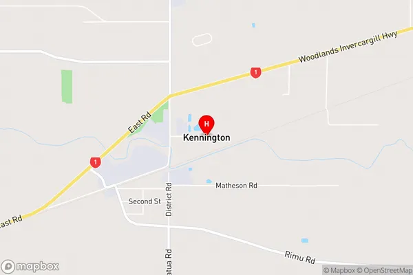
KenningtonKennington Area Map (Street)
Local Authority
Invercargill City, Southland DistrictFull Address
Kennington, Invercargill City, Southland District, New ZealandAddress Type
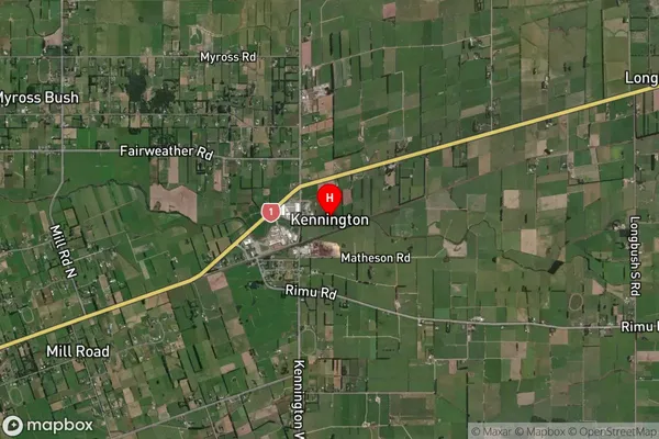
Locality in City InvercargillKennington Suburb Map (Satellite)
Country
Main Region in AU
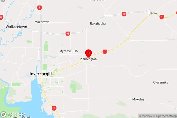
SouthlandKennington Region Map
Coordinates
-46.3881043,168.4581542 (latitude/longitude)Distances
The distance from Kennington, Invercargill, Invercargill City, Southland District to NZ Top 10 Cities