Kelburn Area, Kelburn Postcode(6012) & Map in Kelburn
Kelburn Area, Kelburn Postcode(6012) & Map in Kelburn, Wellington City, New Zealand
Kelburn, Wellington City, New Zealand
Kelburn Area (estimated)
1.7 square kilometersKelburn Population (estimated)
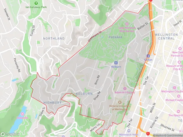
5215 people live in Kelburn, Wellington, NZKelburn Suburb Area Map (Polygon)
Kelburn Introduction
Kelburn is a suburb of Wellington, New Zealand, located to the west of the city center. It is known for its vibrant community, popular cafes, and proximity to the Kelburn Viaduct, a historic landmark. The area is popular with students and young professionals due to its affordable housing and convenient location.Region
Major City
Suburb Name
KelburnOther Name(s)
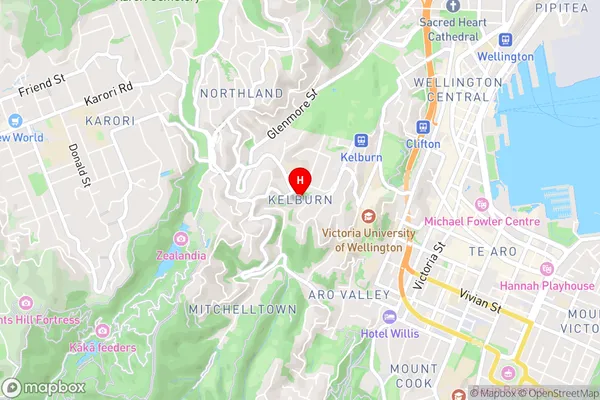
TaitvilleKelburn Area Map (Street)
Local Authority
Wellington CityFull Address
Kelburn, Wellington City, New ZealandAddress Type
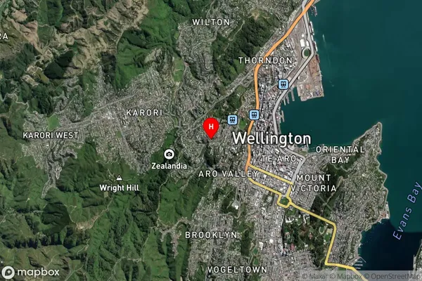
Suburb in City WellingtonKelburn Suburb Map (Satellite)
Country
Main Region in AU
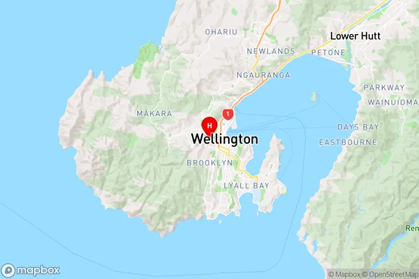
WellingtonKelburn Region Map
Coordinates
-41.289205,174.7623927 (latitude/longitude)Distances
The distance from Kelburn, Wellington, Wellington City to NZ Top 10 Cities