Breaker Bay Area, Breaker Bay Postcode(6022) & Map in Breaker Bay
Breaker Bay Area, Breaker Bay Postcode(6022) & Map in Breaker Bay, Area outside Territorial Authority, New Zealand
Breaker Bay, Area outside Territorial Authority, New Zealand
Breaker Bay Postcodes
Breaker Bay Area (estimated)
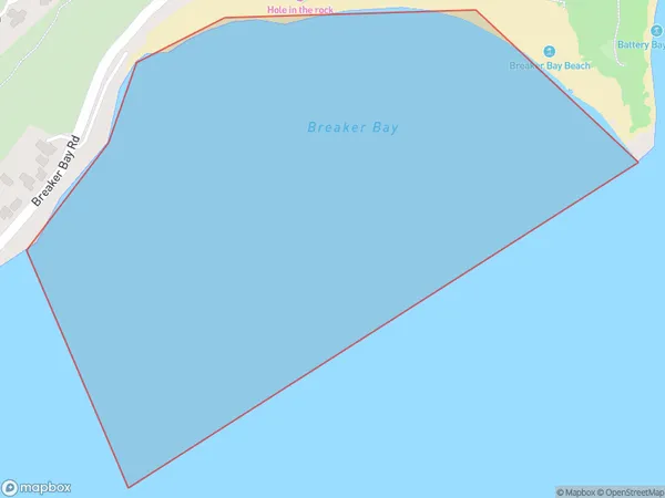
0.3 square kilometersBreaker Bay Population (estimated)
0 people live in Breaker Bay, Wellington, NZBreaker Bay Suburb Area Map (Polygon)
Breaker Bay Introduction
Breaker Bay is a suburb of Wellington, New Zealand, located on the southern coast of the North Island. It is known for its stunning beaches, rugged coastline, and vibrant community. The area is popular with surfers, swimmers, and outdoor enthusiasts, and is home to several popular parks and recreational facilities.Region
Major City
Suburb Name
Breaker BayOther Name(s)
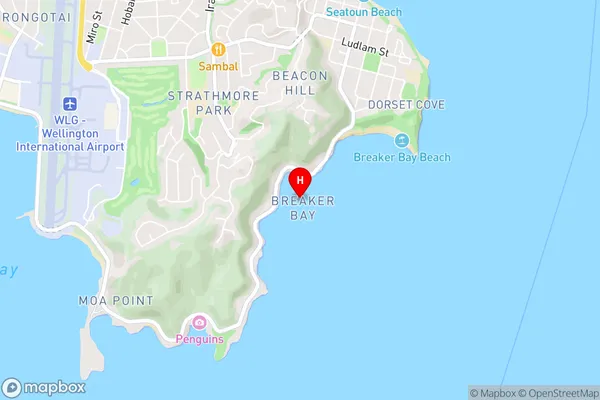
Wellington Harbour / Port Nicholson, Cook StraitBreaker Bay Area Map (Street)
Local Authority
Area outside Territorial AuthorityFull Address
Breaker Bay, Area outside Territorial Authority, New ZealandAddress Type
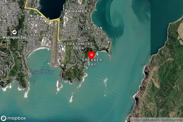
Coastal BayBreaker Bay Suburb Map (Satellite)
Country
Main Region in AU
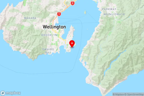
WellingtonBreaker Bay Region Map
Coordinates
-41.3343158,174.8278178 (latitude/longitude)Distances
The distance from Breaker Bay, , Area outside Territorial Authority to NZ Top 10 Cities