Karori Area, Karori Postcode(6012) & Map in Karori
Karori Area, Karori Postcode(6012) & Map in Karori, Wellington City, New Zealand
Karori, Wellington City, New Zealand
Karori Area (estimated)
18.5 square kilometersKarori Population (estimated)
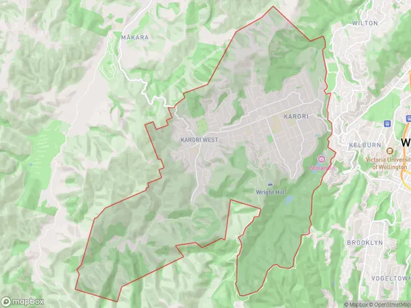
15349 people live in Karori, Wellington, NZKarori Suburb Area Map (Polygon)
Karori Introduction
Karori is a suburb of Wellington, New Zealand, located in the inner-western part of the city. It is known for its vibrant community, diverse culture, and natural beauty. The area is home to a number of historic buildings and landmarks, including the Karori Wildlife Sanctuary, the Karori Cemetery, and the Karori Park. Karori is also home to a number of popular restaurants, cafes, and shops, making it a popular destination for locals and visitors alike.Region
Major City
Suburb Name
KaroriOther Name(s)
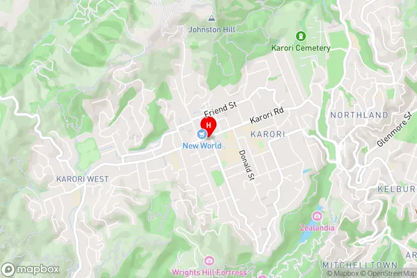
Karori Central, Karori WestKarori Area Map (Street)
Local Authority
Wellington CityFull Address
Karori, Wellington City, New ZealandAddress Type
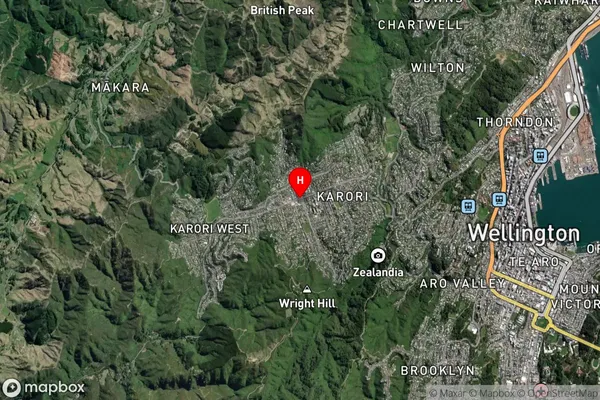
Suburb in City WellingtonKarori Suburb Map (Satellite)
Country
Main Region in AU
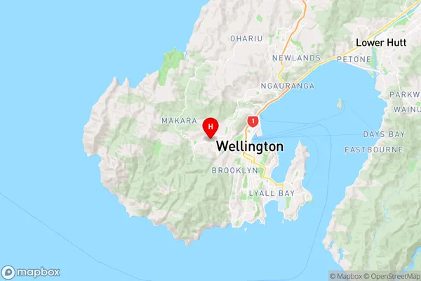
WellingtonKarori Region Map
Coordinates
-41.2845495,174.7387671 (latitude/longitude)Distances
The distance from Karori, Wellington, Wellington City to NZ Top 10 Cities