East Tamaki Area, East Tamaki Postcode(1733) & Map in East Tamaki
East Tamaki Area, East Tamaki Postcode(1733) & Map in East Tamaki, Auckland, New Zealand
East Tamaki, Auckland, New Zealand
East Tamaki Area (estimated)
12.7 square kilometersEast Tamaki Population (estimated)
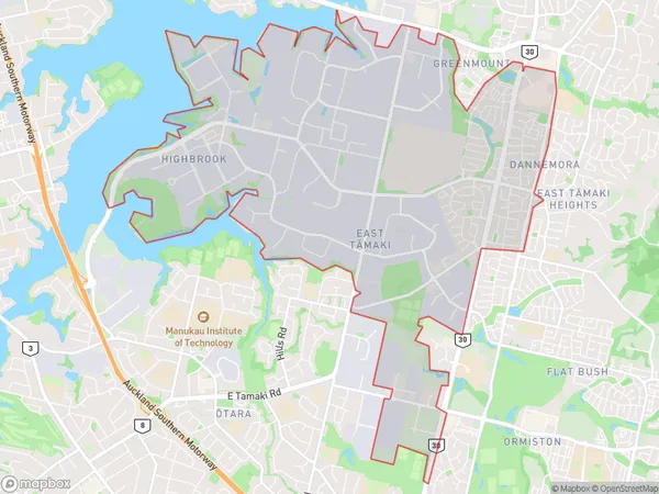
7057 people live in East Tamaki, Howick, NZEast Tamaki Suburb Area Map (Polygon)
East Tamaki Introduction
East Tamaki is a suburb in Auckland, New Zealand, located 10 kilometers southeast of the city center. It is known for its large population and diverse culture, with a significant Asian community. The suburb has several shopping centers, parks, and recreational facilities, including the East Tamaki Golf Club and the East Tamaki Aquatic Center. It is also home to several important institutions, including the Tamaki College and the Tamaki Medical Center.Region
Major City
Suburb Name
East Tamaki (Maori Name: East Tāmaki)Other Name(s)
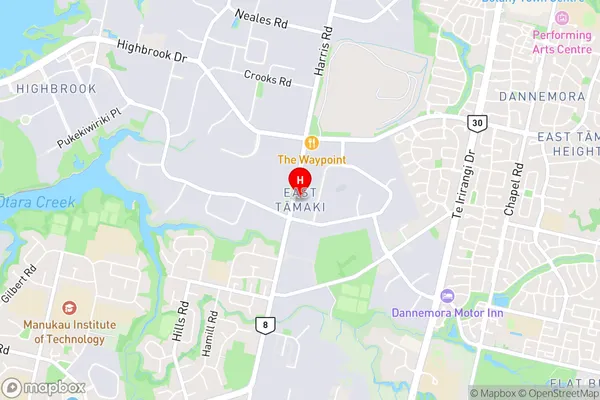
Greenmount, OrmistonEast Tamaki Area Map (Street)
Local Authority
AucklandFull Address
East Tamaki, Auckland, New ZealandAddress Type
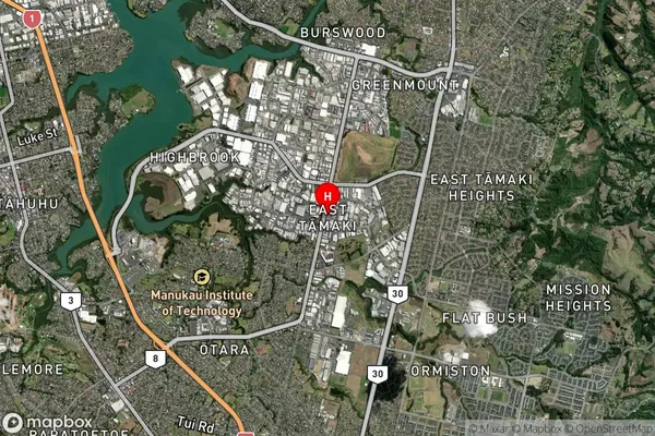
Suburb in City AucklandEast Tamaki Suburb Map (Satellite)
Country
Main Region in AU
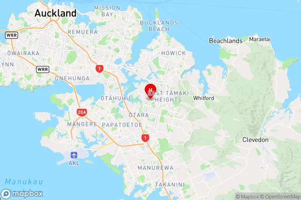
AucklandEast Tamaki Region Map
Coordinates
-36.9474802,174.8931962 (latitude/longitude)Distances
The distance from East Tamaki, Auckland, Auckland to NZ Top 10 Cities