Kakahu Area, Kakahu Postcode(7991) & Map in Kakahu, Mackenzie District
Kakahu Area, Kakahu Postcode(7991) & Map in Kakahu, Mackenzie District, Timaru District, New Zealand
Kakahu, Mackenzie District, Timaru District, New Zealand
Kakahu Postcodes
Kakahu Area (estimated)
407.1 square kilometersKakahu Population (estimated)
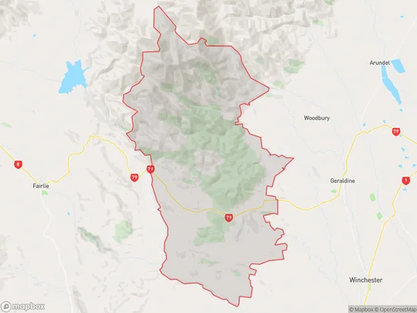
283 people live in Kakahu, Canterbury, NZKakahu Suburb Area Map (Polygon)
Kakahu Introduction
Kakahu is a small town located in the Canterbury region of New Zealand. It is known for its picturesque scenery, including the Kakahu Scenic Reserve and the Kakahu Forest. The town has a population of around 1,000 people and is surrounded by farmland and native bush. Kakahu is a popular destination for outdoor enthusiasts, with many walking and hiking trails nearby. The town also has a community hall, a library, and a small supermarket.Region
Major City
Suburb Name
KakahuOther Name(s)
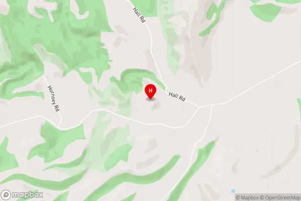
Beautiful Valley, Clayton, Gapes Valley, Hanging Rock, Kakahu Bush, Opuha, Rapuwai, Te Moana, Upper WaitohiKakahu Area Map (Street)
Local Authority
Mackenzie District, Timaru DistrictFull Address
Kakahu, Mackenzie District, Timaru District, New ZealandAddress Type
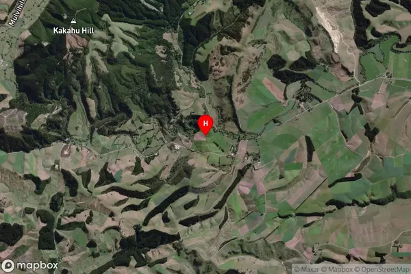
Locality in Town GeraldineKakahu Suburb Map (Satellite)
Country
Main Region in AU
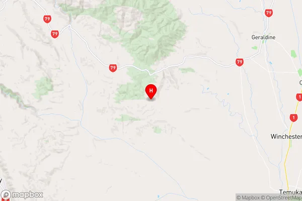
CanterburyKakahu Region Map
Coordinates
-44.1541134,171.0892081 (latitude/longitude)Distances
The distance from Kakahu, Geraldine, Mackenzie District, Timaru District to NZ Top 10 Cities