Karangahake Area, Karangahake Postcode(3600) & Map in Karangahake
Karangahake Area, Karangahake Postcode(3600) & Map in Karangahake, Hauraki District, New Zealand
Karangahake, Hauraki District, New Zealand
Karangahake Postcodes
Karangahake Area (estimated)
18.6 square kilometersKarangahake Population (estimated)
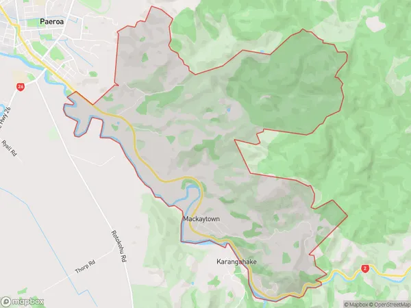
318 people live in Karangahake, Waikato, NZKarangahake Suburb Area Map (Polygon)
Karangahake Introduction
Karangahake Gorge is a limestone gorge located in the Waikato region of New Zealand. It is known for its scenic beauty, walking tracks, and rock formations. The gorge is a popular destination for tourists and outdoor enthusiasts, with various activities such as hiking, cycling, and picnicking available. The gorge has a rich history and was formed by the Waikato River over millions of years. It is also home to a variety of wildlife, including native birds, bats, and insects.Region
Major City
Suburb Name
KarangahakeOther Name(s)
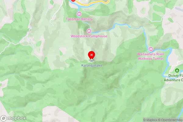
MackaytownKarangahake Area Map (Street)
Local Authority
Hauraki DistrictFull Address
Karangahake, Hauraki District, New ZealandAddress Type
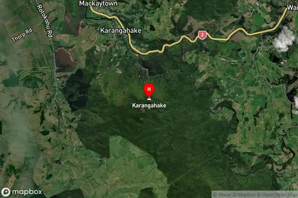
Suburb in Major Locality KarangahakeKarangahake Suburb Map (Satellite)
Country
Main Region in AU
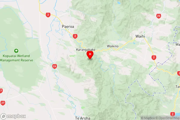
WaikatoKarangahake Region Map
Coordinates
-37.4356391,175.725518 (latitude/longitude)Distances
The distance from Karangahake, Karangahake, Hauraki District to NZ Top 10 Cities