Johnsonville Area, Johnsonville Postcode(6037) & Map in Johnsonville
Johnsonville Area, Johnsonville Postcode(6037) & Map in Johnsonville, Wellington City, New Zealand
Johnsonville, Wellington City, New Zealand
Johnsonville Postcodes
Johnsonville Area (estimated)
4.6 square kilometersJohnsonville Population (estimated)
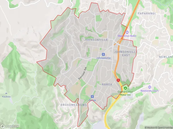
11759 people live in Johnsonville, Wellington, NZJohnsonville Suburb Area Map (Polygon)
Johnsonville Introduction
Johnsonville is a suburb of Wellington, New Zealand, located in the eastern part of the city. It is known for its vibrant community, popular restaurants, and proximity to the Wellington Botanic Garden. Johnsonville also has a large retail area with a variety of shops and services. The suburb is well-connected to other parts of Wellington via public transportation, and it is a popular choice for families and young professionals.Region
Major City
Suburb Name
JohnsonvilleOther Name(s)
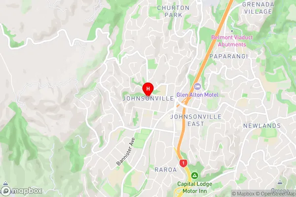
RaroaJohnsonville Area Map (Street)
Local Authority
Wellington CityFull Address
Johnsonville, Wellington City, New ZealandAddress Type
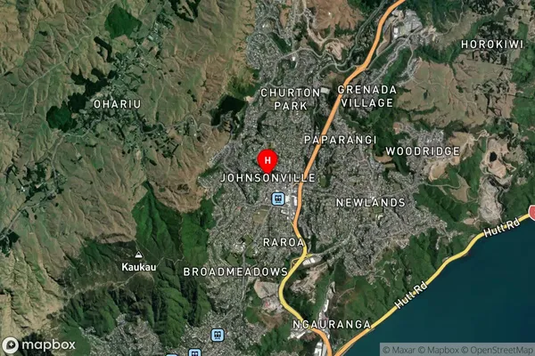
Suburb in City WellingtonJohnsonville Suburb Map (Satellite)
Country
Main Region in AU
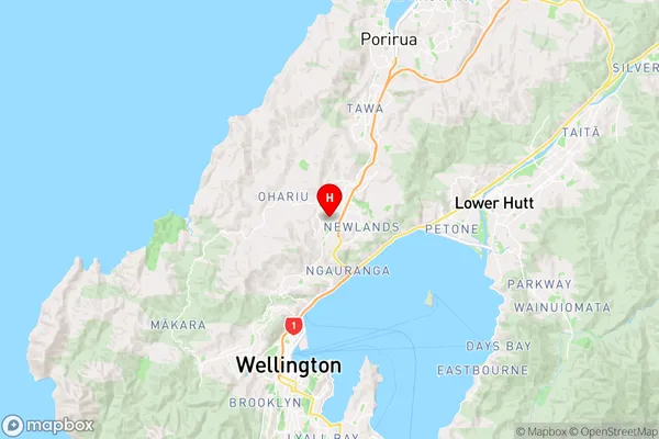
WellingtonJohnsonville Region Map
Coordinates
-41.2203388,174.8027606 (latitude/longitude)Distances
The distance from Johnsonville, Wellington, Wellington City to NZ Top 10 Cities