Invercargill Airport Area, Invercargill Airport Postcode(9879) & Map in Invercargill Airport
Invercargill Airport Area, Invercargill Airport Postcode(9879) & Map in Invercargill Airport, Invercargill City, New Zealand
Invercargill Airport, Invercargill City, New Zealand
Invercargill Airport Area (estimated)
9.3 square kilometersInvercargill Airport Population (estimated)
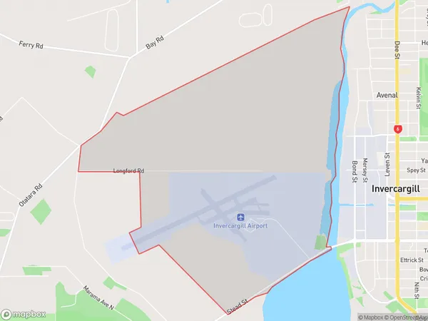
8 people live in Invercargill Airport, Invercargill City, NZInvercargill Airport Suburb Area Map (Polygon)
Invercargill Airport Introduction
Invercargill Airport is the primary airport serving the Southland region of New Zealand. It is located in Invercargill, approximately 10 kilometers from the city center. The airport offers scheduled domestic and international flights to various destinations, including Auckland, Queenstown, and Wellington. It is also a base for several regional airlines and flight training schools. Invercargill Airport is known for its scenic location, with stunning views of the Southern Alps and the surrounding countryside.Region
Major City
Suburb Name
Invercargill AirportOther Name(s)
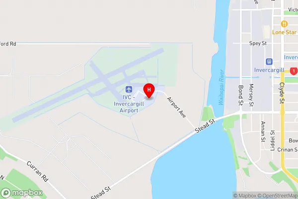
Invercargill AerodromeInvercargill Airport Area Map (Street)
Local Authority
Invercargill CityFull Address
Invercargill Airport, Invercargill City, New ZealandAddress Type
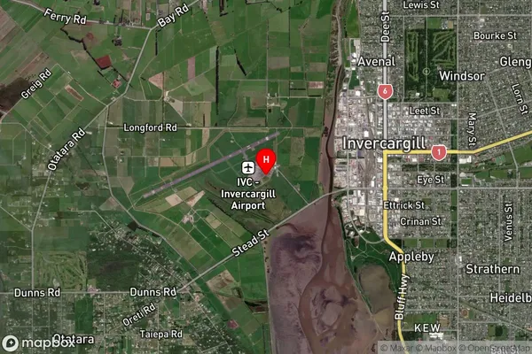
Locality in City InvercargillInvercargill Airport Suburb Map (Satellite)
Country
Main Region in AU
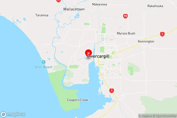
SouthlandInvercargill Airport Region Map
Coordinates
-46.41638,168.324275404463 (latitude/longitude)Distances
The distance from Invercargill Airport, Invercargill, Invercargill City to NZ Top 10 Cities