Huntington Park Area, Huntington Park Postcode(2013) & Map in Huntington Park
Huntington Park Area, Huntington Park Postcode(2013) & Map in Huntington Park, Auckland, New Zealand
Huntington Park, Auckland, New Zealand
Huntington Park Postcodes
Huntington Park Area (estimated)
0.3 square kilometersHuntington Park Population (estimated)
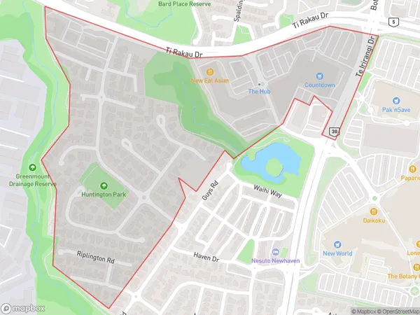
686 people live in Huntington Park, Howick, NZHuntington Park Suburb Area Map (Polygon)
Huntington Park Introduction
Huntington Park is a suburb of Auckland, New Zealand, located in the Eastern Suburbs. It is known for its large population of Pacific Islanders and has a variety of shops, restaurants, and recreational facilities. The suburb also has a rich history and was once home to a significant Maori community.Region
Major City
Suburb Name
Huntington ParkOther Name(s)
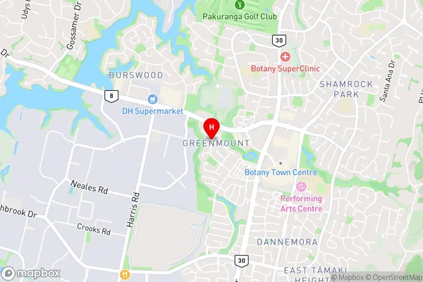
ManuakuHuntington Park Area Map (Street)
Local Authority
AucklandFull Address
Huntington Park, Auckland, New ZealandAddress Type
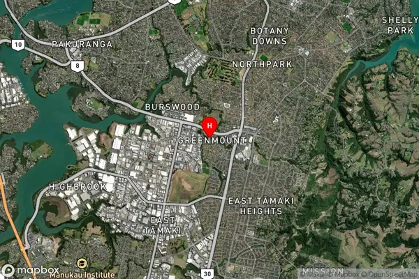
Suburb in City AucklandHuntington Park Suburb Map (Satellite)
Country
Main Region in AU
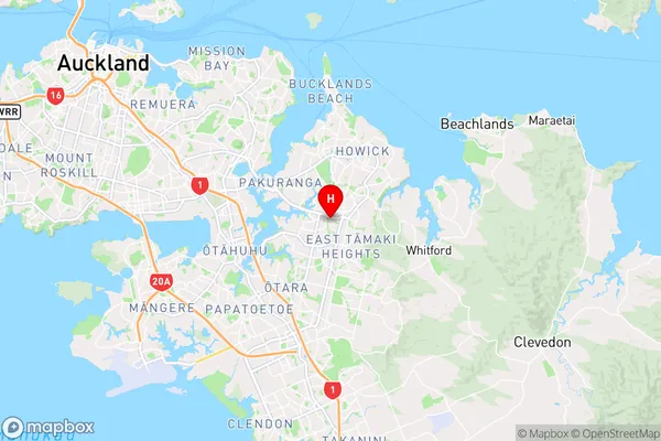
AucklandHuntington Park Region Map
Coordinates
-36.9305545,174.9047608 (latitude/longitude)Distances
The distance from Huntington Park, Auckland, Auckland to NZ Top 10 Cities