Ashers Area, Ashers Postcode & Map in Ashers
Ashers Area, Ashers Postcode & Map in Ashers, Southland District, New Zealand
Ashers, Southland District, New Zealand
Ashers Area (estimated)
33.3 square kilometersAshers Population (estimated)
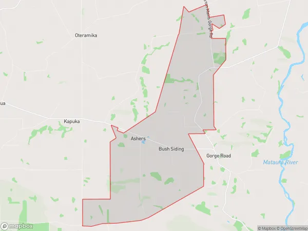
86 people live in Ashers, Waihopai Toetoe Community, NZAshers Suburb Area Map (Polygon)
Ashers Introduction
Ashers is a small rural community in Southland, New Zealand, located on the banks of the Clutha River. It is known for its picturesque scenery, friendly locals, and traditional Scottish heritage. The area has a primary school, a post office, a church, and a few small businesses. Visitors can enjoy fishing, hiking, and exploring the nearby forests and rivers.Region
Major City
Suburb Name
AshersOther Name(s)
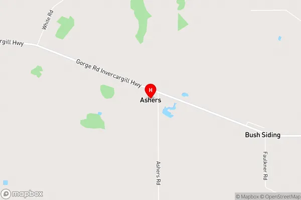
Bush SidingAshers Area Map (Street)
Local Authority
Southland DistrictFull Address
Ashers, Southland District, New ZealandAddress Type
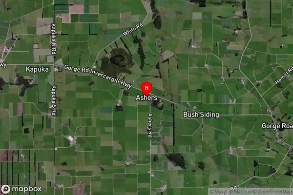
Locality in City InvercargillAshers Suburb Map (Satellite)
Country
Main Region in AU
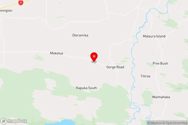
SouthlandAshers Region Map
Coordinates
-46.46687,168.6564 (latitude/longitude)Distances
The distance from Ashers, Invercargill, Southland District to NZ Top 10 Cities