Hilton Area, Hilton Postcode(7940) & Map in Hilton
Hilton Area, Hilton Postcode(7940) & Map in Hilton, Timaru District, New Zealand
Hilton, Timaru District, New Zealand
Hilton Postcodes
Hilton Area (estimated)
33.2 square kilometersHilton Population (estimated)
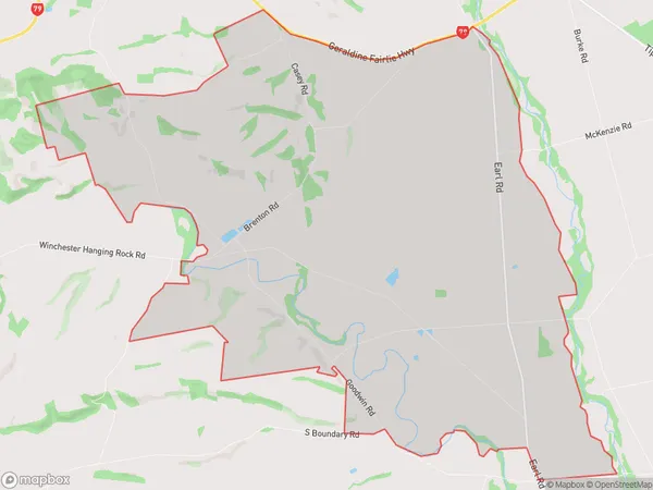
135 people live in Hilton, Canterbury, NZHilton Suburb Area Map (Polygon)
Hilton Introduction
Hilton, Geraldine, Canterbury, New Zealand, was a historic home and farmstead located on the banks of the Waimakariri River. It was built in the 1850s and was known for its picturesque gardens and grand architecture. The house was destroyed by a fire in 1990, but the gardens remain a popular tourist attraction.Region
Major City
Suburb Name
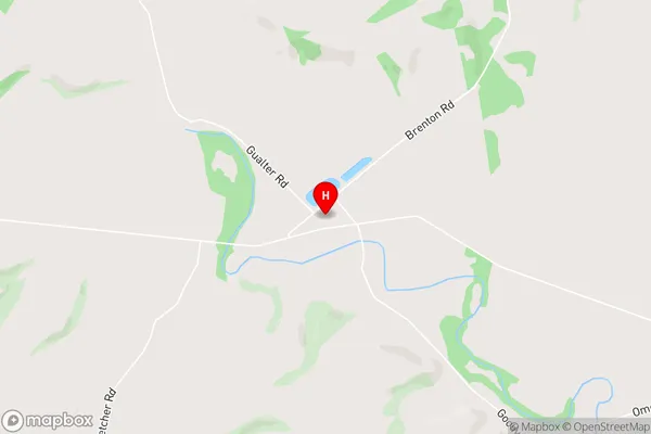
HiltonHilton Area Map (Street)
Local Authority
Timaru DistrictFull Address
Hilton, Timaru District, New ZealandAddress Type
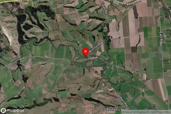
Locality in Town GeraldineHilton Suburb Map (Satellite)
Country
Main Region in AU
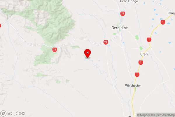
CanterburyHilton Region Map
Coordinates
-44.1438747,171.1671209 (latitude/longitude)Distances
The distance from Hilton, Geraldine, Timaru District to NZ Top 10 Cities