Highbank Area, Highbank Postcode(7782) & Map in Highbank
Highbank Area, Highbank Postcode(7782) & Map in Highbank, Ashburton District, New Zealand
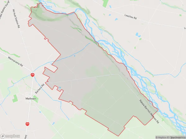
Highbank, Ashburton District, New Zealand
Highbank Postcodes
Highbank Area (estimated)
113.7 square kilometersHighbank Population (estimated)
246 people live in Highbank, Canterbury, NZHighbank Suburb Area Map (Polygon)
Highbank Introduction
Highbank is a rural community in Methven, Canterbury, New Zealand. It is located in the Ashburton District and is known for its scenic views, outdoor activities, and friendly community. The area has a variety of housing options, including farms, lifestyle blocks, and apartments, and is surrounded by picturesque farmland and forests. Highbank is a popular destination for tourists and locals alike, with many attractions and amenities nearby.Region
Major City
Suburb Name
HighbankOther Name(s)
MarawitiHighbank Area Map (Street)
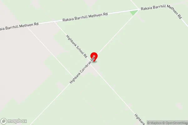
Local Authority
Ashburton DistrictFull Address
Highbank, Ashburton District, New ZealandAddress Type
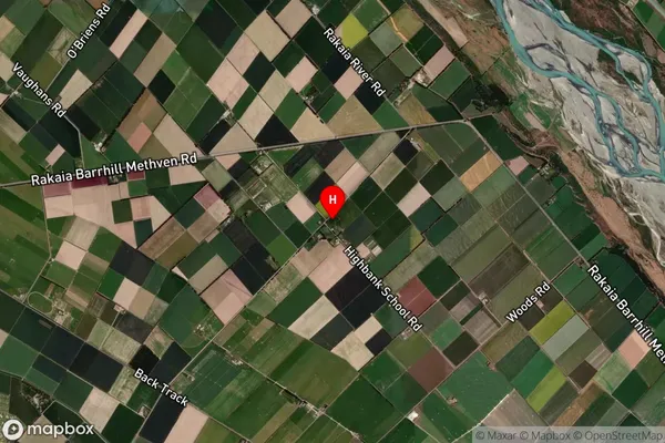
Locality in Town MethvenHighbank Suburb Map (Satellite)
Country
Main Region in AU
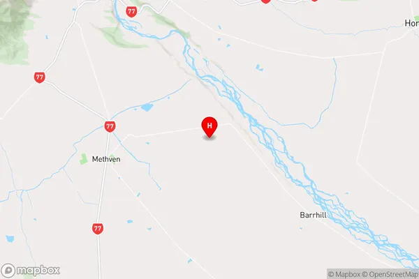
CanterburyHighbank Region Map
Coordinates
-43.6184425,171.7489457 (latitude/longitude)Distances
The distance from Highbank, Methven, Ashburton District to NZ Top 10 Cities