Arundel Area, Arundel Postcode(7992) & Map in Arundel
Arundel Area, Arundel Postcode(7992) & Map in Arundel, Timaru District, New Zealand
Arundel, Timaru District, New Zealand
Arundel Postcodes
Arundel Area (estimated)
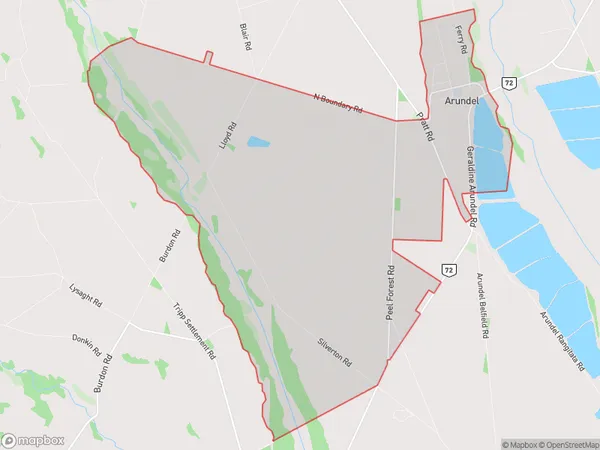
28.8 square kilometersArundel Population (estimated)
97 people live in Arundel, Canterbury, NZArundel Suburb Area Map (Polygon)
Arundel Introduction
Arundel is a small town in the Canterbury region of New Zealand, located on the banks of the Waimakariri River. It is known for its historic buildings, including the Arundel Castle, and its scenic surroundings, including the Arundel Forest Park. The town has a population of around 1,500 people and is a popular tourist destination.Region
Major City
Suburb Name
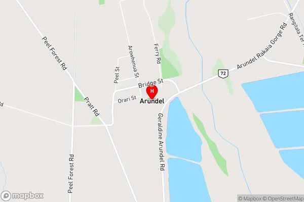
ArundelArundel Area Map (Street)
Local Authority
Timaru DistrictFull Address
Arundel, Timaru District, New ZealandAddress Type
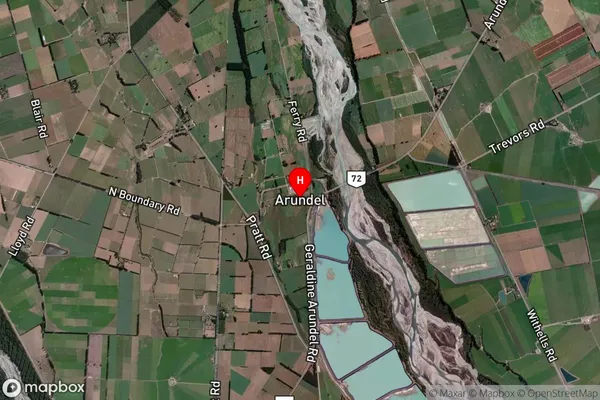
Locality in Town GeraldineArundel Suburb Map (Satellite)
Country
Main Region in AU
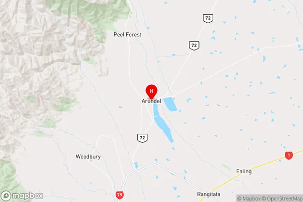
CanterburyArundel Region Map
Coordinates
-43.9762004,171.2932624 (latitude/longitude)Distances
The distance from Arundel, Geraldine, Timaru District to NZ Top 10 Cities