Aro Valley Area, Aro Valley Postcode(6040) & Map in Aro Valley
Aro Valley Area, Aro Valley Postcode(6040) & Map in Aro Valley, Wellington City, New Zealand
Aro Valley, Wellington City, New Zealand
Aro Valley Area (estimated)
1.0 square kilometersAro Valley Population (estimated)
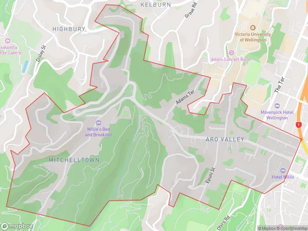
3451 people live in Aro Valley, Wellington, NZAro Valley Suburb Area Map (Polygon)
Aro Valley Introduction
Aro Valley is a popular residential area in Wellington, known for its scenic surroundings, lush green parks, and well-maintained homes. It is located in the eastern suburbs of the city and is surrounded by the Taranaki Mountains. The area has a vibrant community with a variety of shops, cafes, and restaurants, and is popular with families and young professionals. It is also home to the Aro Valley Railway Station, which provides a convenient link to the city center.Region
Major City
Suburb Name
Aro ValleyOther Name(s)
MitchelltownAro Valley Area Map (Street)
Local Authority
Wellington CityFull Address
Aro Valley, Wellington City, New ZealandAddress Type
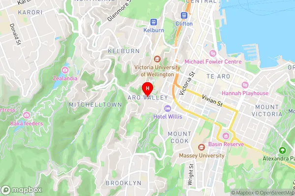
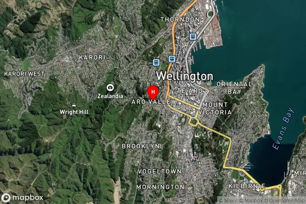
Suburb in City WellingtonAro Valley Suburb Map (Satellite)
Country
Main Region in AU
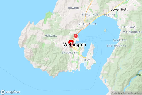
WellingtonAro Valley Region Map
Coordinates
-41.2953729,174.7665739 (latitude/longitude)Distances
The distance from Aro Valley, Wellington, Wellington City to NZ Top 10 Cities