Hatfield Area, Hatfield Postcode(7784) & Map in Hatfield
Hatfield Area, Hatfield Postcode(7784) & Map in Hatfield, Ashburton District, New Zealand
Hatfield, Ashburton District, New Zealand
Hatfield Postcodes
Hatfield Area (estimated)
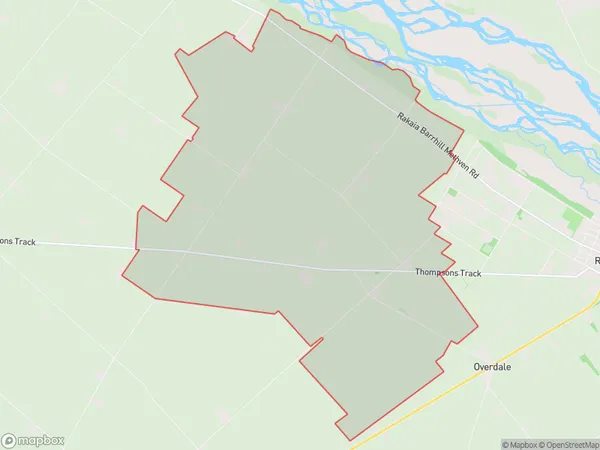
42.3 square kilometersHatfield Population (estimated)
95 people live in Hatfield, Canterbury, NZHatfield Suburb Area Map (Polygon)
Hatfield Introduction
Hatfield is a small rural town in Canterbury, New Zealand, located on the banks of the Rakaia River. It is known for its historic stone buildings, including the Old Church, and for its scenic surroundings, including the Rakaia Gorge. The town has a population of around 300 people and is a popular destination for outdoor enthusiasts, with many opportunities for hiking, fishing, and hunting.Region
Major City
Suburb Name
HatfieldOther Name(s)
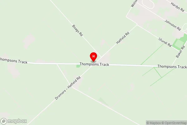
SomertonHatfield Area Map (Street)
Local Authority
Ashburton DistrictFull Address
Hatfield, Ashburton District, New ZealandAddress Type
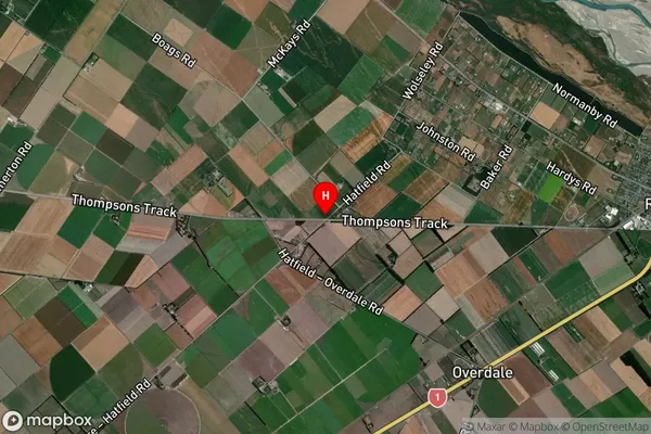
Locality in Town RakaiaHatfield Suburb Map (Satellite)
Country
Main Region in AU
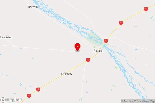
CanterburyHatfield Region Map
Coordinates
-43.7581695,171.9695735 (latitude/longitude)Distances
The distance from Hatfield, Rakaia, Ashburton District to NZ Top 10 Cities