Argyle Corner Area, Argyle Corner Postcode(9883) & Map in Argyle Corner
Argyle Corner Area, Argyle Corner Postcode(9883) & Map in Argyle Corner, Southland District, New Zealand
Argyle Corner, Southland District, New Zealand
Argyle Corner Postcodes
Argyle Corner Area (estimated)
10.2 square kilometersArgyle Corner Population (estimated)
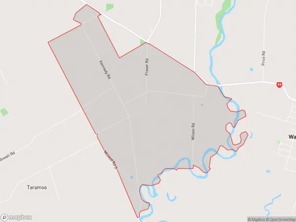
45 people live in Argyle Corner, Oreti Community, NZArgyle Corner Suburb Area Map (Polygon)
Argyle Corner Introduction
Argyle Corner is a historic site in Invercargill, Southland, New Zealand. It is the site of the first European settlement in the region, established in 1865 by Scottish settlers. The corner is named after the Argyle family, who were significant landowners in the area. The site includes a stone church, a few houses, and a cemetery. Argyle Corner is a significant part of Southland's history and is a popular tourist destination.Region
Major City
Suburb Name
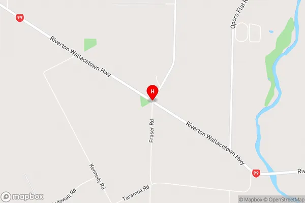
Argyle CornerArgyle Corner Area Map (Street)
Local Authority
Southland DistrictFull Address
Argyle Corner, Southland District, New ZealandAddress Type
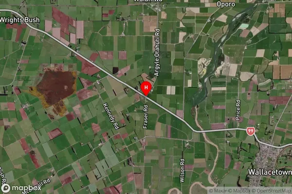
Locality in City InvercargillArgyle Corner Suburb Map (Satellite)
Country
Main Region in AU
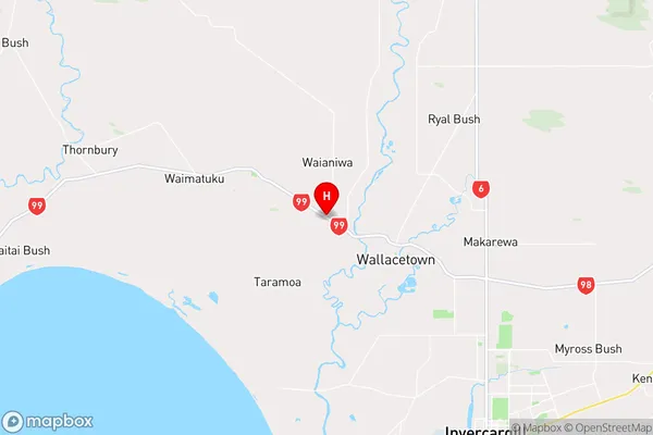
SouthlandArgyle Corner Region Map
Coordinates
-46.31793,168.24647 (latitude/longitude)Distances
The distance from Argyle Corner, Invercargill, Southland District to NZ Top 10 Cities