Limestone Island Area, Limestone Island Postcode & Map in Limestone Island
Limestone Island Area, Limestone Island Postcode & Map in Limestone Island, Whangarei District, New Zealand
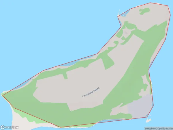
Limestone Island, Whangarei District, New Zealand
Limestone Island Area (estimated)
0.4 square kilometersLimestone Island Population (estimated)
1 people live in Limestone Island, Whangārei, NZLimestone Island Suburb Area Map (Polygon)
Limestone Island Introduction
Limestone Island is located in the Bay of Islands, Northland, New Zealand. It is a small, rocky island with a population of around 50 people. The island is known for its scenic beauty, including its limestone cliffs, crystal-clear waters, and lush vegetation. The island has a rich history, with evidence of early Māori settlement and European exploration. It is also a popular destination for hiking, kayaking, and fishing.Region
Major City
Suburb Name
Limestone IslandOther Name(s)
Whangarei Harbour (Maori Name: Whangārei Harbour)Limestone Island Area Map (Street)

Local Authority
Whangarei DistrictFull Address
Limestone Island, Whangarei District, New ZealandAddress Type
IslandLimestone Island Suburb Map (Satellite)

Country
Main Region in AU
NorthlandLimestone Island Region Map

Coordinates
-35.7835888,174.359421530617 (latitude/longitude)Distances
The distance from Limestone Island, , Whangarei District to NZ Top 10 Cities