Glenomaru Valley Area, Glenomaru Valley Postcode & Map in Glenomaru Valley
Glenomaru Valley Area, Glenomaru Valley Postcode & Map in Glenomaru Valley, Clutha District,
Glenomaru Valley, Clutha District,
Glenomaru Valley Area (estimated)
58.8 square kilometersGlenomaru Valley Population (estimated)
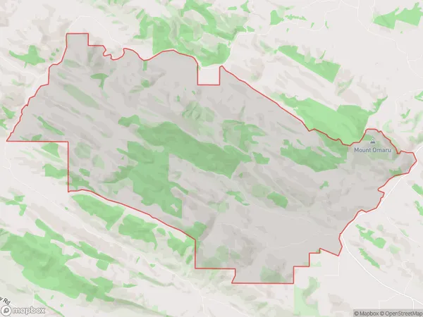
10 people live in Glenomaru Valley, Balclutha, NZGlenomaru Valley Suburb Area Map (Polygon)
Glenomaru Valley Introduction
Glenomaru Valley is a picturesque valley located in Kaka Point, Otago, New Zealand. It is known for its stunning mountain views, lush green forests, and crystal-clear rivers. The valley is a popular spot for hiking, mountain biking, and fishing, and it is home to a variety of wildlife, including kea, tui, and red deer. The area is also home to several historic buildings, including the Glenomaru Cheese Factory and the Old Kaka Point Store.Region
Major City
Suburb Name
Glenomaru ValleyGlenomaru Valley Area Map (Street)
Local Authority
Clutha DistrictFull Address
Glenomaru Valley, Clutha District,Address Type
Locality in Major Locality Kaka PointGlenomaru Valley Suburb Map (Satellite)
Country
Main Region in AU
OtagoGlenomaru Valley Region Map
Coordinates
0,0 (latitude/longitude)Distances
The distance from Glenomaru Valley, Kaka Point, Clutha District to NZ Top 10 Cities