Glencoe Area, Glencoe Postcode & Map in Glencoe
Glencoe Area, Glencoe Postcode & Map in Glencoe, Southland District, New Zealand
Glencoe, Southland District, New Zealand
Glencoe Area (estimated)
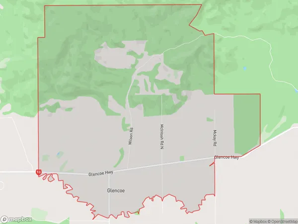
23.3 square kilometersGlencoe Population (estimated)
32 people live in Glencoe, Oreti Community, NZGlencoe Suburb Area Map (Polygon)
Glencoe Introduction
Glencoe is a small rural community in Southland, New Zealand, located on the banks of the Clutha River. It is known for its stunning natural scenery, including mountains, forests, and rivers. The area is popular with outdoor enthusiasts and tourists, who enjoy activities such as hiking, skiing, fishing, and kayaking. The community has a small school, a post office, and a general store.Region
Major City
Suburb Name
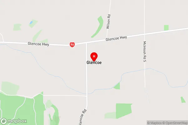
GlencoeGlencoe Area Map (Street)
Local Authority
Southland DistrictFull Address
Glencoe, Southland District, New ZealandAddress Type
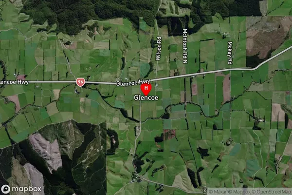
Locality in City InvercargillGlencoe Suburb Map (Satellite)
Country
Main Region in AU
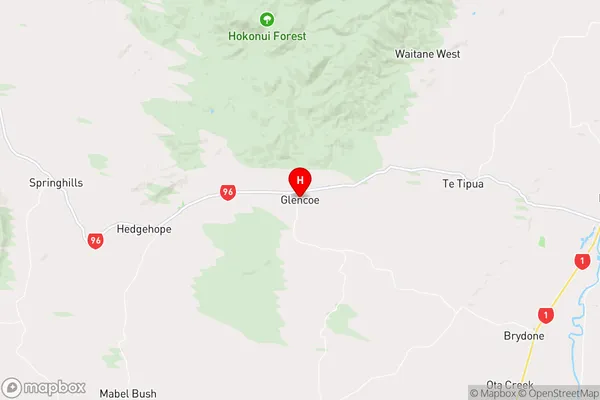
SouthlandGlencoe Region Map
Coordinates
-46.19358,168.64541 (latitude/longitude)Distances
The distance from Glencoe, Invercargill, Southland District to NZ Top 10 Cities