Colyers Island Area, Colyers Island Postcode(9814) & Map in Colyers Island
Colyers Island Area, Colyers Island Postcode(9814) & Map in Colyers Island, Invercargill City, New Zealand
Colyers Island, Invercargill City, New Zealand
Colyers Island Postcodes
Colyers Island Area (estimated)
0.2 square kilometersColyers Island Population (estimated)
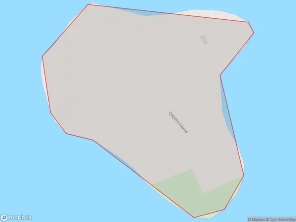
2 people live in Colyers Island, Invercargill City, NZColyers Island Suburb Area Map (Polygon)
Colyers Island Introduction
Colyers Island is a small island located in the Foveaux Strait, near Invercargill, Southland, New Zealand. It is home to a variety of wildlife, including fur seals, penguins, and albatrosses. The island is also a popular tourist destination, with visitors able to take guided tours to see the wildlife and learn about the island's history.Region
Major City
Suburb Name
Colyers IslandOther Name(s)
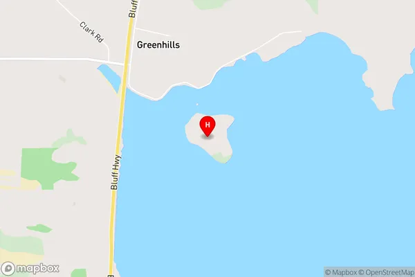
Bluff HarbourColyers Island Area Map (Street)
Local Authority
Invercargill CityFull Address
Colyers Island, Invercargill City, New ZealandAddress Type
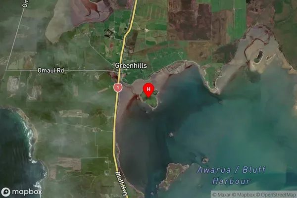
Island in City InvercargillColyers Island Suburb Map (Satellite)
Country
Main Region in AU
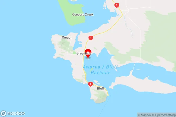
SouthlandColyers Island Region Map
Coordinates
-46.5531358,168.310959909504 (latitude/longitude)Distances
The distance from Colyers Island, Invercargill, Invercargill City to NZ Top 10 Cities