Gladstone Area, Gladstone Postcode(9810) & Map in Gladstone
Gladstone Area, Gladstone Postcode(9810) & Map in Gladstone, Invercargill City, New Zealand
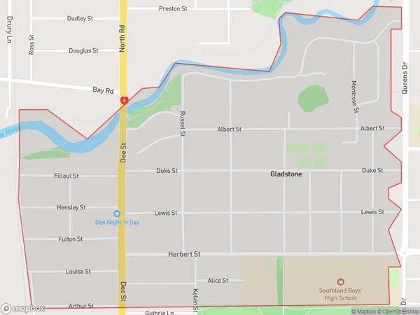
Gladstone, Invercargill City, New Zealand
Gladstone Postcodes
Gladstone Area (estimated)
1.6 square kilometersGladstone Population (estimated)
2616 people live in Gladstone, Invercargill City, NZGladstone Suburb Area Map (Polygon)
Gladstone Introduction
Gladstone is a small rural town in Southland, New Zealand, located on the banks of the Clutha River. It is known for its historic buildings, including the Gladstone Hotel, which was built in 1865. The town also has a variety of recreational facilities, including a golf course and a swimming pool. Gladstone is a popular destination for tourists and is located within easy driving distance of Invercargill and other Southland attractions.Region
Major City
Suburb Name
GladstoneOther Name(s)
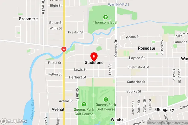
Invercargill WestGladstone Area Map (Street)
Local Authority
Invercargill CityFull Address
Gladstone, Invercargill City, New ZealandAddress Type
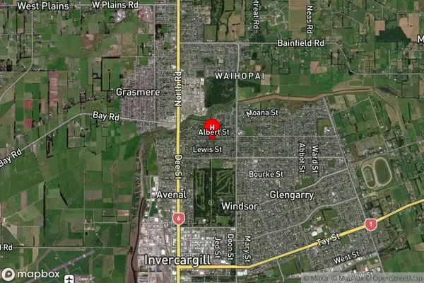
Suburb in City InvercargillGladstone Suburb Map (Satellite)
Country
Main Region in AU
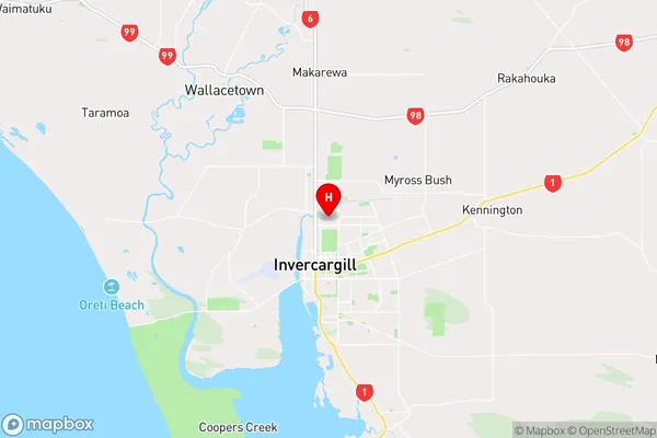
SouthlandGladstone Region Map
Coordinates
-46.39204,168.3555099 (latitude/longitude)Distances
The distance from Gladstone, Invercargill, Invercargill City to NZ Top 10 Cities