Geraldine Flat Area, Geraldine Flat Postcode(7930) & Map in Geraldine Flat
Geraldine Flat Area, Geraldine Flat Postcode(7930) & Map in Geraldine Flat, Timaru District, New Zealand
Geraldine Flat, Timaru District, New Zealand
Geraldine Flat Postcodes
Geraldine Flat Area (estimated)
24.8 square kilometersGeraldine Flat Population (estimated)
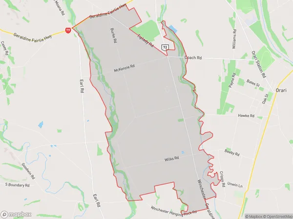
129 people live in Geraldine Flat, Canterbury, NZGeraldine Flat Suburb Area Map (Polygon)
Geraldine Flat Introduction
Geraldine Flat is a rural locality in the Geraldine district of Canterbury, New Zealand. It is located 16 km south of Geraldine town, and was named after Geraldine, the wife of the district's first landowner. The area is primarily used for farming, with sheep and beef being the main crops. The flat has a population of around 200 people and has a primary school, a post office, and a community hall. The surrounding area is known for its scenic beauty, with the Southern Alps and the Rakaia River providing a stunning backdrop.Region
Major City
Suburb Name
Geraldine FlatOther Name(s)
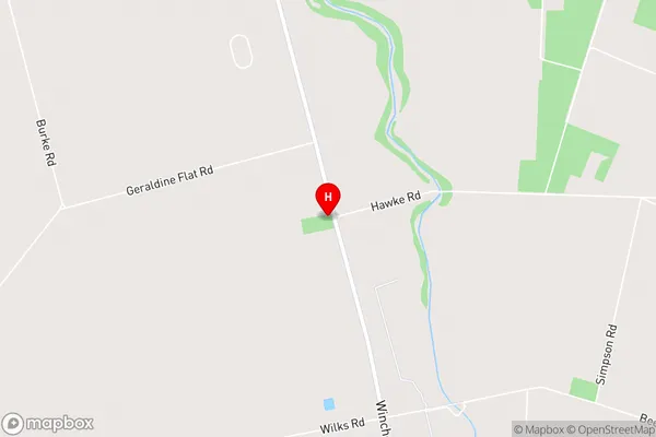
DenfieldGeraldine Flat Area Map (Street)
Local Authority
Timaru DistrictFull Address
Geraldine Flat, Timaru District, New ZealandAddress Type
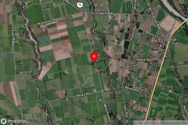
Locality in Town GeraldineGeraldine Flat Suburb Map (Satellite)
Country
Main Region in AU
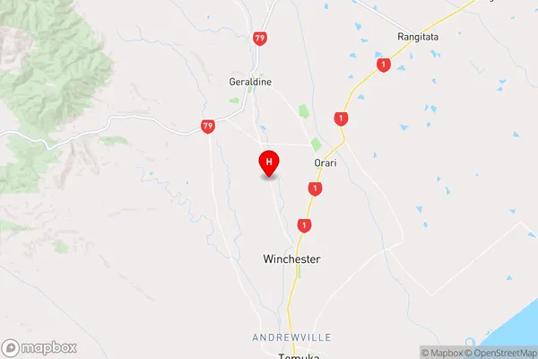
CanterburyGeraldine Flat Region Map
Coordinates
-44.1457483,171.25694 (latitude/longitude)Distances
The distance from Geraldine Flat, Geraldine, Timaru District to NZ Top 10 Cities