Geraldine Downs Area, Geraldine Downs Postcode(7930) & Map in Geraldine Downs
Geraldine Downs Area, Geraldine Downs Postcode(7930) & Map in Geraldine Downs, Timaru District, New Zealand
Geraldine Downs, Timaru District, New Zealand
Geraldine Downs Postcodes
Geraldine Downs Area (estimated)
16.5 square kilometersGeraldine Downs Population (estimated)
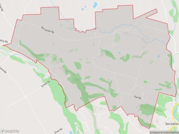
376 people live in Geraldine Downs, Canterbury, NZGeraldine Downs Suburb Area Map (Polygon)
Geraldine Downs Introduction
Geraldine Downs is a rural town in Canterbury, New Zealand, located 13 km south of Geraldine. It was named after Geraldine, the wife of the surveyor general of New Zealand. The town has a population of around 1,000 people and is known for its scenic countryside and agricultural pursuits. The Geraldine Downs Airport provides air services to the region.Region
Major City
Suburb Name
Geraldine DownsOther Name(s)
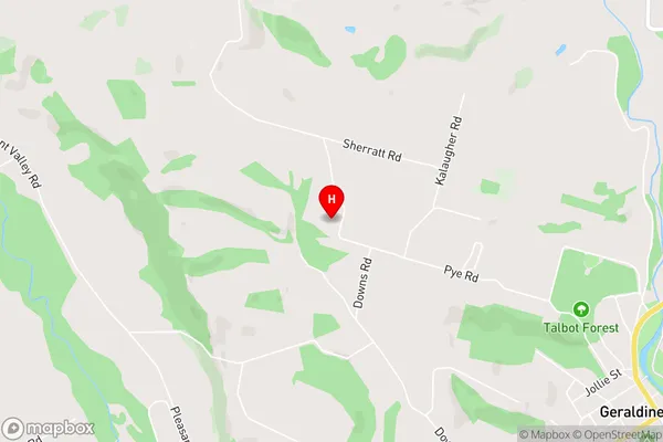
DenfieldGeraldine Downs Area Map (Street)
Local Authority
Timaru DistrictFull Address
Geraldine Downs, Timaru District, New ZealandAddress Type
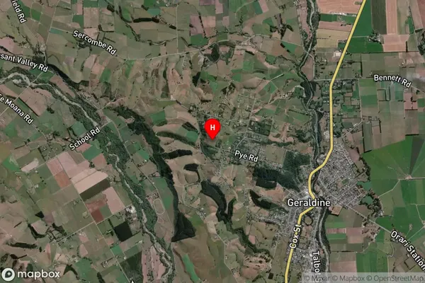
Locality in Town GeraldineGeraldine Downs Suburb Map (Satellite)
Country
Main Region in AU
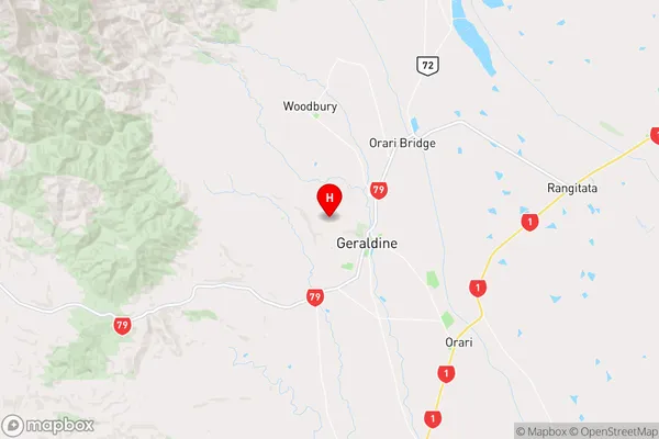
CanterburyGeraldine Downs Region Map
Coordinates
-44.0814513,171.2192631 (latitude/longitude)Distances
The distance from Geraldine Downs, Geraldine, Timaru District to NZ Top 10 Cities