Geraldine Area, Geraldine Postcode(7930) & Map in Geraldine
Geraldine Area, Geraldine Postcode(7930) & Map in Geraldine, Timaru District, New Zealand
Geraldine, Timaru District, New Zealand
Geraldine Area (estimated)
29.4 square kilometersGeraldine Population (estimated)
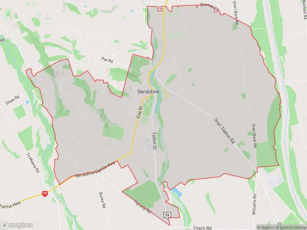
3416 people live in Geraldine, Canterbury, NZGeraldine Suburb Area Map (Polygon)
Geraldine Introduction
Geraldine is a small town in Canterbury, New Zealand, located in the Ashburton District. It is known for its picturesque rural setting, historic buildings, and vibrant community. The town has a population of around 3,000 people and is surrounded by stunning countryside, including the Southern Alps and the Rakaia River. Geraldine is a popular destination for outdoor enthusiasts, with many opportunities for hiking, cycling, and fishing. The town also hosts a number of events and festivals throughout the year, including the Geraldine A&P Show and the Geraldine Classic Car Rally.Region
Major City
Suburb Name
GeraldineOther Name(s)
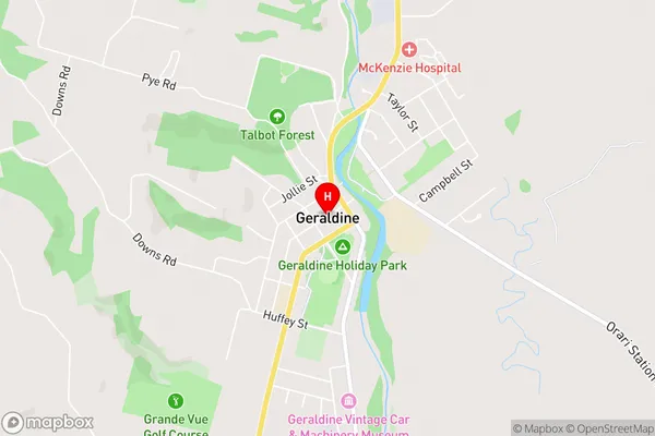
DenfieldGeraldine Area Map (Street)
Local Authority
Timaru DistrictFull Address
Geraldine, Timaru District, New ZealandAddress Type
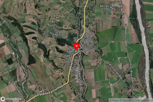
Suburb in Town GeraldineGeraldine Suburb Map (Satellite)
Country
Main Region in AU
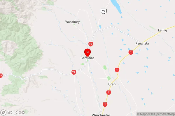
CanterburyGeraldine Region Map
Coordinates
-44.0921039,171.2425898 (latitude/longitude)Distances
The distance from Geraldine, Geraldine, Timaru District to NZ Top 10 Cities