Georgetown Area, Georgetown Postcode(9812) & Map in Georgetown
Georgetown Area, Georgetown Postcode(9812) & Map in Georgetown, Invercargill City, New Zealand
Georgetown, Invercargill City, New Zealand
Georgetown Postcodes
Georgetown Area (estimated)
1.3 square kilometersGeorgetown Population (estimated)
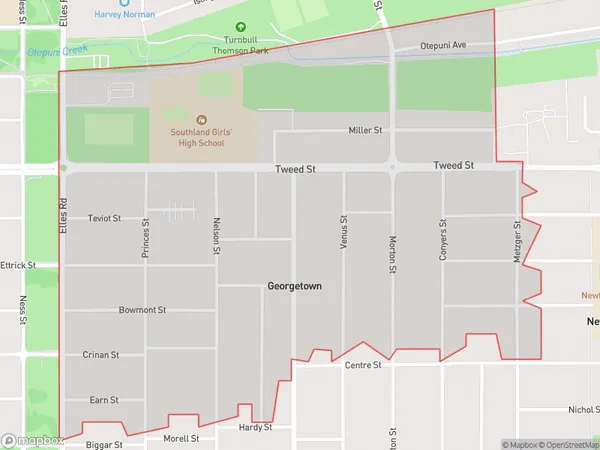
2138 people live in Georgetown, Invercargill City, NZGeorgetown Suburb Area Map (Polygon)
Georgetown Introduction
Georgetown is a small town in Southland, New Zealand, located on the banks of the Mataura River. It is known for its historic buildings, including the Old Courthouse and the St. John's Anglican Church. The town also has a variety of recreational facilities, including a golf course and a swimming pool. Georgetown is a popular destination for tourists and is located close to several scenic attractions, including the Southern Alps and the Catlins Coast.Region
Major City
Suburb Name
GeorgetownOther Name(s)
Turnbull ThomsonGeorgetown Area Map (Street)
Local Authority
Invercargill CityFull Address
Georgetown, Invercargill City, New ZealandAddress Type
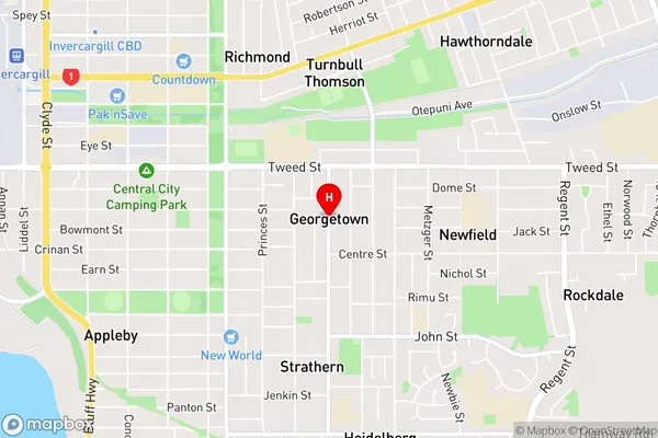
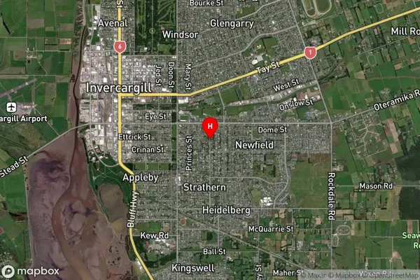
Suburb in City InvercargillGeorgetown Suburb Map (Satellite)
Country
Main Region in AU
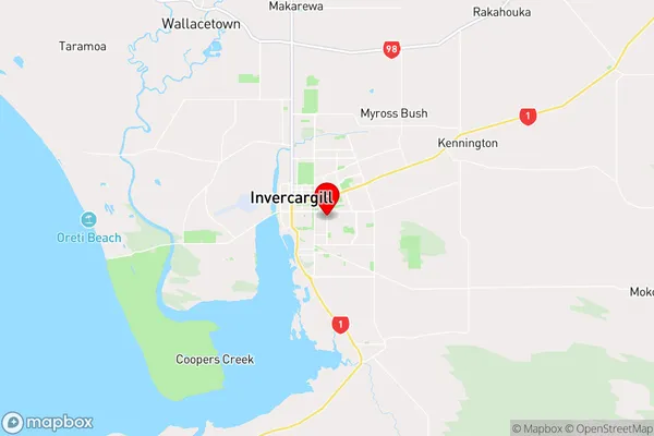
SouthlandGeorgetown Region Map
Coordinates
-46.4206976,168.3695037 (latitude/longitude)Distances
The distance from Georgetown, Invercargill, Invercargill City to NZ Top 10 Cities