Jamestown Area, Jamestown Postcode & Map in Jamestown
Jamestown Area, Jamestown Postcode & Map in Jamestown, Southland District, New Zealand
Jamestown, Southland District, New Zealand
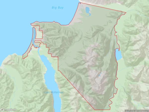
Jamestown Area (estimated)
267.6 square kilometersJamestown Population (estimated)
0 people live in Jamestown, Fiordland Community, NZJamestown Suburb Area Map (Polygon)
Jamestown Introduction
Jamestown is a small town in Southland, New Zealand, with a population of around 1,200 people. It is known for its historic gold mining and farming industries and for its scenic surroundings, including the Haast River and the Southern Alps. The town is located about 200 kilometers south of Invercargill and 30 kilometers north of Queenstown.Region
Major City
Suburb Name
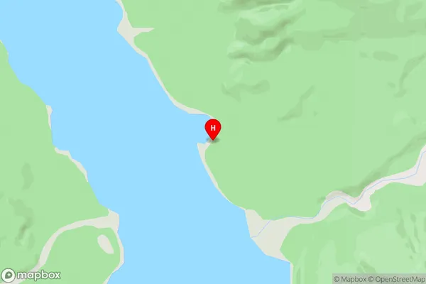
JamestownJamestown Area Map (Street)
Local Authority
Southland DistrictFull Address
Jamestown, Southland District, New ZealandAddress Type
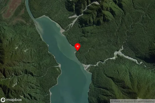
Locality in Major Locality HaastJamestown Suburb Map (Satellite)
Country
Main Region in AU
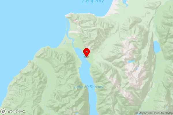
SouthlandJamestown Region Map
Coordinates
-44.4016033,168.0481271 (latitude/longitude)Distances
The distance from Jamestown, Haast, Southland District to NZ Top 10 Cities